Transport Functions
Multimodal
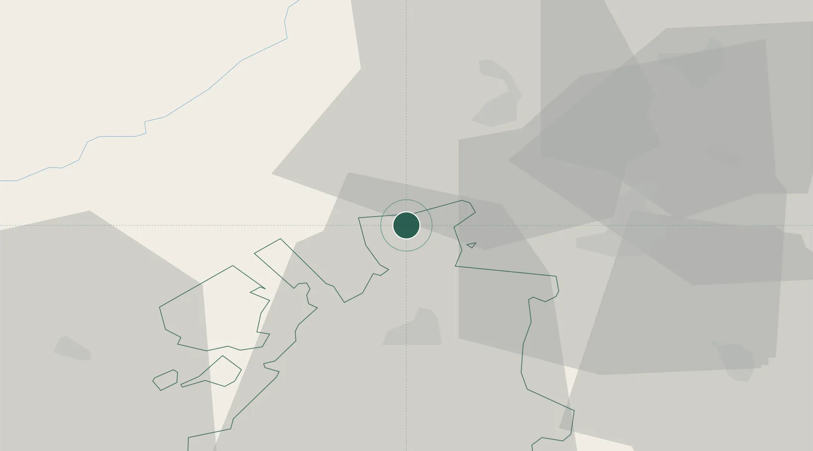
Location
Nearby Logistics Neighbours
Cities
- 1Müntschemier4 km
- 2Kerzers5 km
- 3Ins6 km
- 4Cressier7 km
- 5Gampelen8 km
Ports
- 1Savona313 km
- 2Rada Di Vado317 km
- 3Genova318 km
- 4Chiavari - Lavagna342 km
- 5Imperia350 km
Airports
- 1Payerne Air Base22 km
- 2Bern Airport28 km
- 3Les Eplatures Airport29 km
- 4Grenchen Airfield32 km
- 5Montbéliard-Courcelles Airfield63 km
Trade Zones
- 1PESA - Port-Franc et Entrepôts de Lausanne-Chavornay SA52 km
- 2ZFU Montbéliard65 km
- 3Port Franc Vevey71 km
- 4ZFU Belfort79 km
- 5ZFU Mulhouse88 km
DatabookThe Record of Consolidated Knowledge
Eswatini beyond logistics?