Transport Functions
Port
Multimodal
Hub Profile
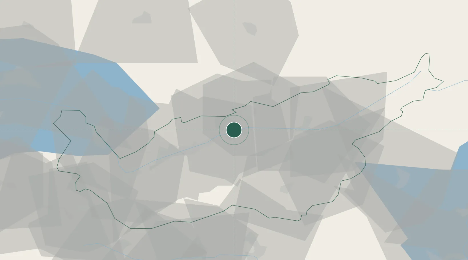
Place type
Populated place
Region
Valais
Population
925
Time zone
Europe/Zurich
Elevation
689 m
Location
Nearby Logistics Neighbours
Cities
- 1Leuk6 km
- 2Crans8 km
- 3Grône11 km
- 4Raron19 km
- 5Kandersteg21 km
Ports
- 1Savona235 km
- 2Genova239 km
- 3Rada Di Vado239 km
- 4Chiavari - Lavagna263 km
- 5Imperia273 km
Airports
- 1Sion Airport20 km
- 2Aosta Corrado Gex Airport66 km
- 3Bern Airport66 km
- 4Payerne Air Base76 km
- 5Alpnach Air Base90 km
Trade Zones
DatabookThe Record of Consolidated Knowledge
Switzerland beyond logistics?