Transport Functions
Rail
Road
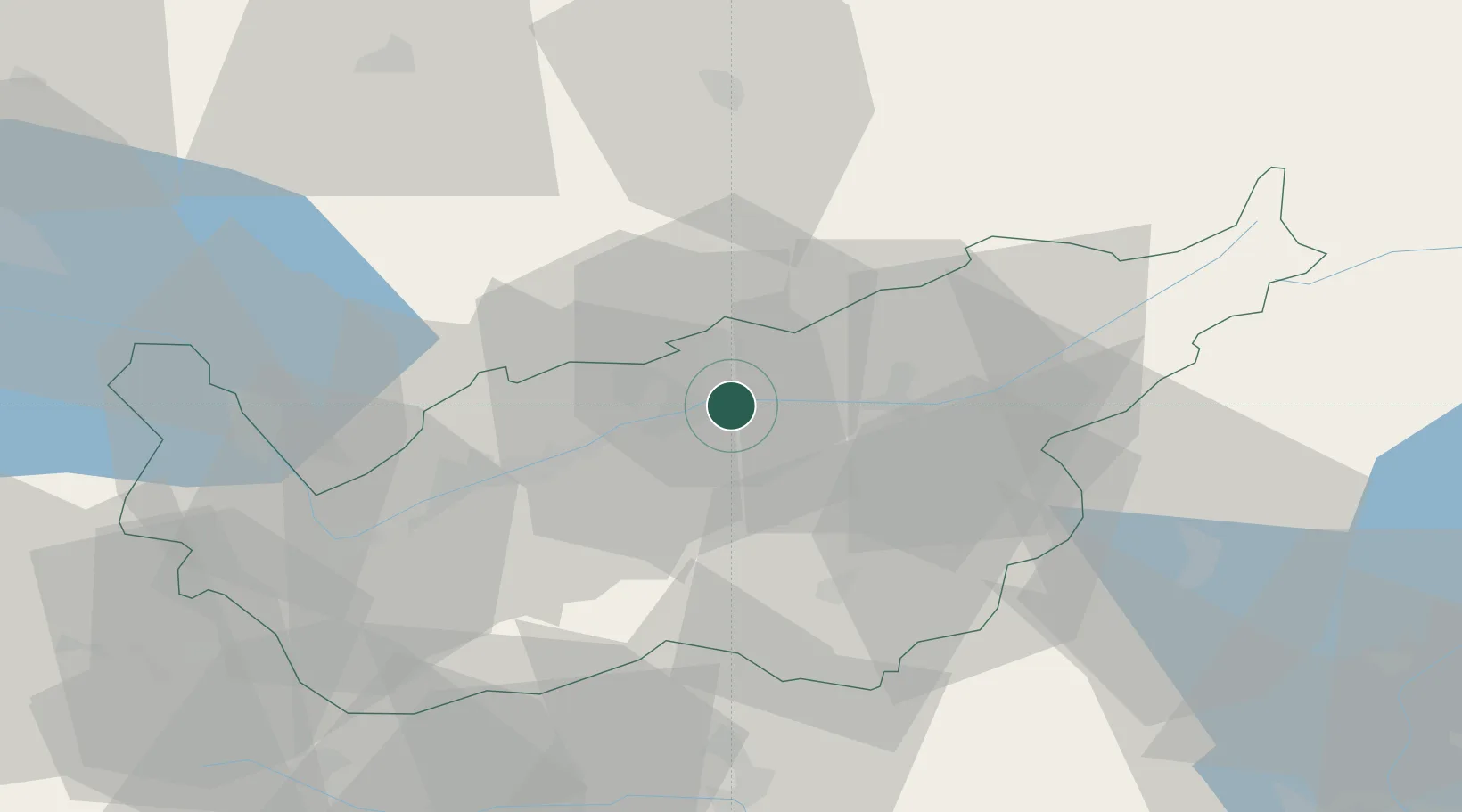
Hub Profile
Place type
Provincial seat
Region
Valais
Population
3,386
Time zone
Europe/Zurich
Elevation
744 m
Location
Nearby Logistics Neighbours
Cities
- 1Miege6 km
- 2Raron13 km
- 3Crans14 km
- 4Grône16 km
- 5Kandersteg19 km
Ports
- 1Savona233 km
- 2Genova236 km
- 3Rada Di Vado237 km
- 4Chiavari - Lavagna260 km
- 5Imperia272 km
Airports
- 1Sion Airport26 km
- 2Bern Airport67 km
- 3Aosta Corrado Gex Airport68 km
- 4Payerne Air Base80 km
- 5Alpnach Air Base86 km
Trade Zones
DatabookThe Record of Consolidated Knowledge
Switzerland beyond logistics?