Transport Functions
Rail
Road
Hub Profile
Place type
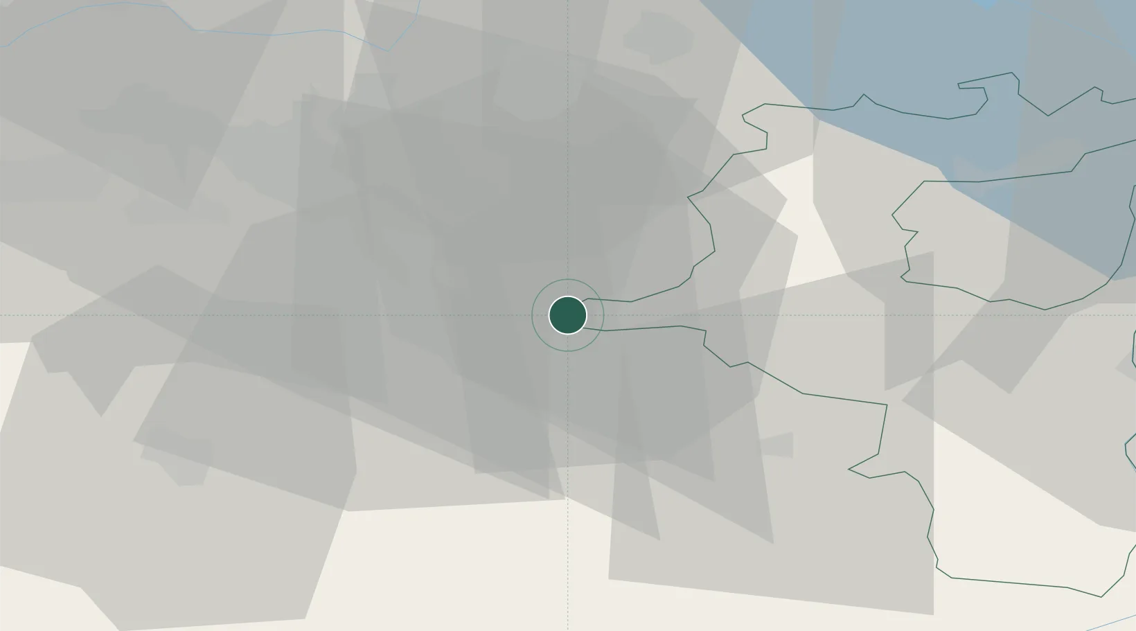
Populated place
Region
Zurich
Population
205
Time zone
Europe/Zurich
Elevation
433 m
Location
Nearby Logistics Neighbours
Cities
- 1Jona4 km
- 2Wolfhausen5 km
- 3Hadlikon8 km
- 4Lachen8 km
- 5Wädenswil9 km
Ports
- 1Genova316 km
- 2Savona325 km
- 3Chiavari - Lavagna328 km
- 4Rada Di Vado331 km
- 5Porto Di Lido-Venezia345 km
Airports
- 1Dübendorf Air Base21 km
- 2Zürich Airport31 km
- 3Emmen Air Base39 km
- 4Alpnach Air Base50 km
- 5Sankt Gallen Altenrhein Airport65 km
Trade Zones
- 1ZFU Mulhouse123 km
- 2Livigno Free Trade Zone127 km
- 3ZFU Montbéliard153 km
- 4Magazzini Generali Con Chiasso155 km
- 5ZFU Belfort156 km
DatabookThe Record of Consolidated Knowledge
Switzerland beyond logistics?