Transport Functions
Rail
Road
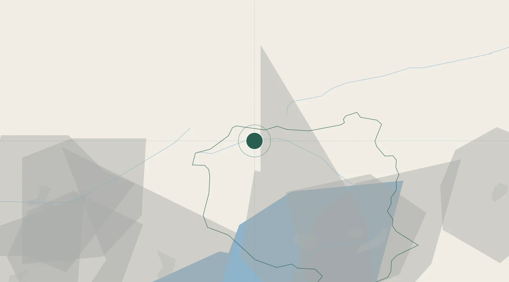
Hub Profile
Place type
Populated place
Region
Ticino
Population
1,559
Time zone
Europe/Zurich
Elevation
1,162 m
Location
Nearby Logistics Neighbours
Cities
- 1Lavorgo20 km
- 2Disentis/Mustér27 km
- 3Wimsheim27 km
- 4Giornico27 km
- 5Someo28 km
Ports
- 1Genova239 km
- 2Savona247 km
- 3Rada Di Vado253 km
- 4Chiavari - Lavagna254 km
- 5La Spezia287 km
Airports
- 1Alpnach Air Base52 km
- 2Lugano Airport64 km
- 3Emmen Air Base66 km
- 4Varese-Venegono Airport91 km
- 5Bern Airport94 km
Trade Zones
- 1Magazzini Generali Con Chiasso81 km
- 2Livigno Free Trade Zone115 km
- 3Port Franc Vevey156 km
- 4PESA - Port-Franc et Entrepôts de Lausanne-Chavornay SA157 km
- 5Aosta Valley165 km
DatabookThe Record of Consolidated Knowledge
Switzerland beyond logistics?