Transport Functions
Multimodal
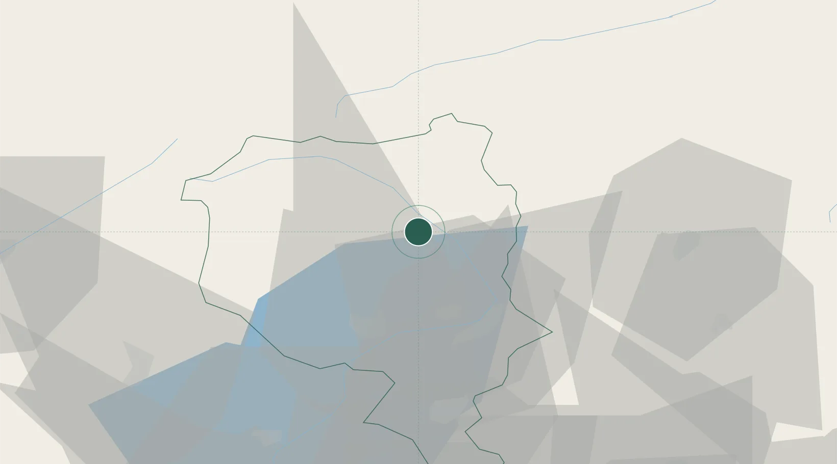
Hub Profile
Place type
Populated place
Region
Ticino
Population
964
Time zone
Europe/Zurich
Elevation
401 m
Location
Nearby Logistics Neighbours
Ports
- 1Genova221 km
- 2Savona232 km
- 3Chiavari - Lavagna234 km
- 4Rada Di Vado238 km
- 5La Spezia265 km
Airports
- 1Lugano Airport42 km
- 2Varese-Venegono Airport71 km
- 3Alpnach Air Base77 km
- 4Engadin Airport79 km
- 5Milan Malpensa International Airport85 km
Trade Zones
DatabookThe Record of Consolidated Knowledge
Switzerland beyond logistics?