Transport Functions
Rail
Road
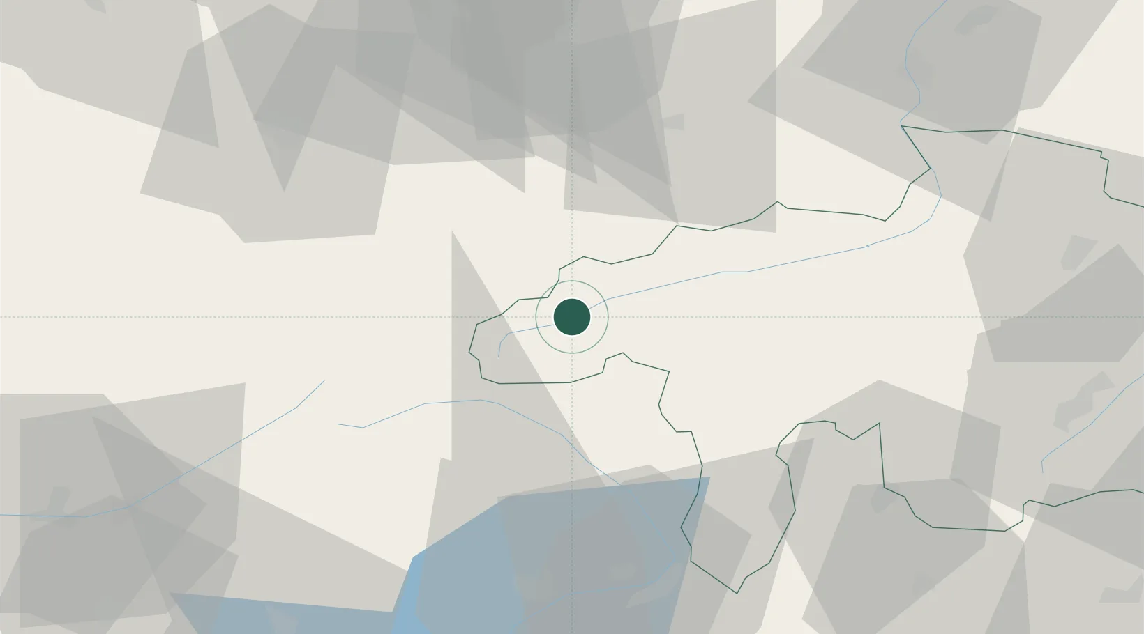
Hub Profile
Region
GR
Location
Nearby Logistics Neighbours
Cities
- 1Erstfeld20 km
- 2Schattdorf24 km
- 3Airolo27 km
- 4Ilanz28 km
- 5Lavorgo28 km
Ports
- 1Genova256 km
- 2Savona266 km
- 3Chiavari - Lavagna269 km
- 4Rada Di Vado273 km
- 5La Spezia299 km
Airports
- 1Alpnach Air Base51 km
- 2Emmen Air Base60 km
- 3Lugano Airport78 km
- 4Dübendorf Air Base79 km
- 5Engadin Airport81 km
Trade Zones
DatabookThe Record of Consolidated Knowledge
Switzerland beyond logistics?