Transport Functions
Multimodal
Hub Profile
Place type
Local administrative seat
Region
Baden-Wurttemberg
Population
2,705
Time zone
Europe/Berlin
Elevation
420 m
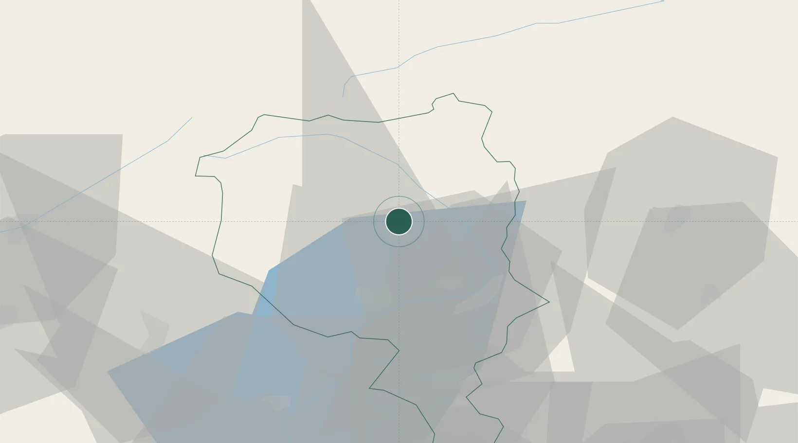
Location
Nearby Logistics Neighbours
Ports
- 1Genova217 km
- 2Savona228 km
- 3Chiavari - Lavagna231 km
- 4Rada Di Vado234 km
- 5La Spezia262 km
Airports
- 1Lugano Airport39 km
- 2Varese-Venegono Airport68 km
- 3Alpnach Air Base78 km
- 4Milan Malpensa International Airport80 km
- 5Engadin Airport83 km
Trade Zones
DatabookThe Record of Consolidated Knowledge
Germany beyond logistics?