UN/LOCODE hub · Canada
CACNT

Cannington

44.3500°, -79.0333°
1
Transport functions

Transport Functions

Rail
UN/LOCODE

Hub Profile

Place type
Populated place
GeoNames
Region
Ontario
GeoNames
Time zone
America/Toronto
GeoNames
Elevation
260 m
GeoNames

Location

Location of CACNT
Natural Earth 10m (public domain) · Ontario · CACNT · 44.35, -79.03GoogleOSMYandex

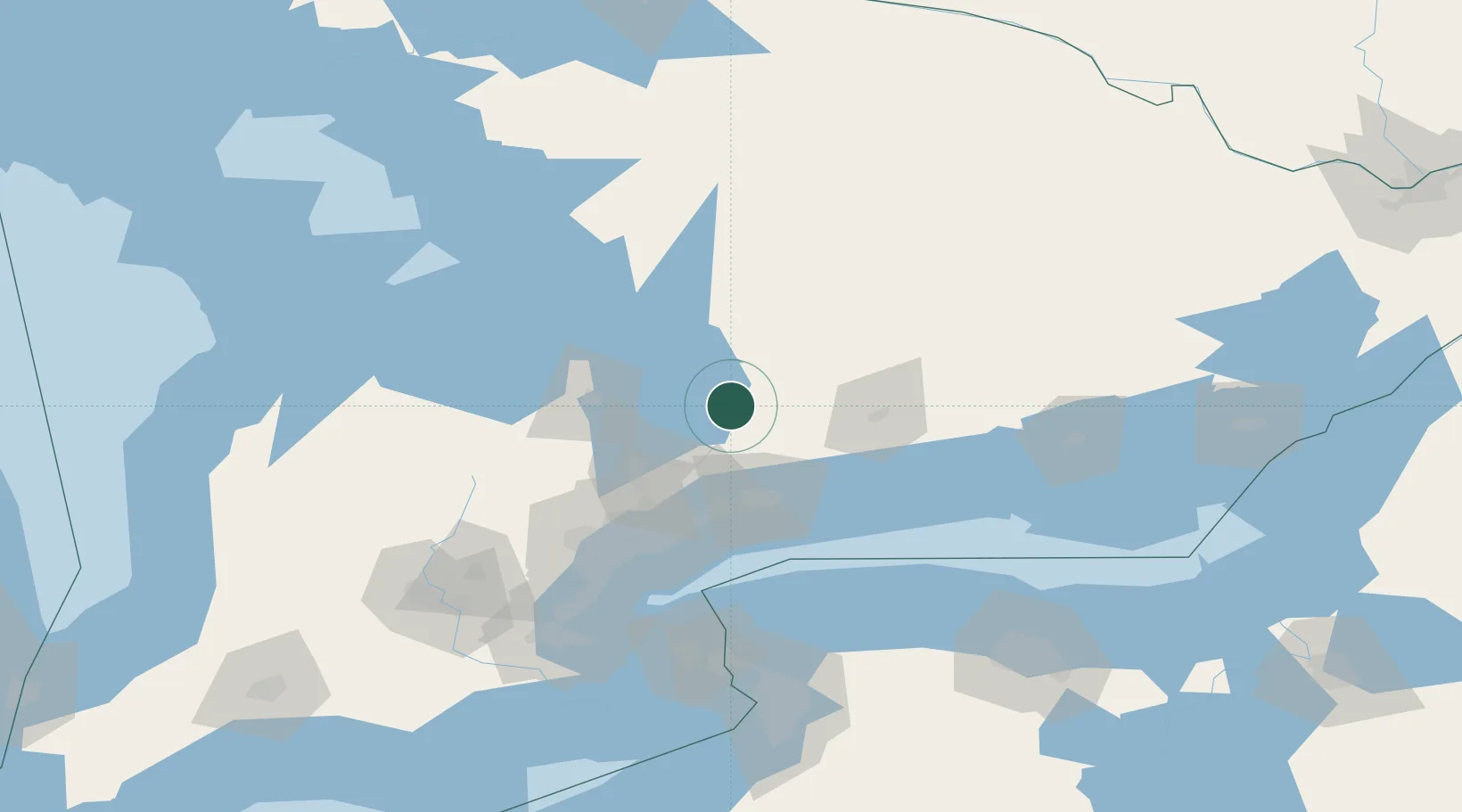
Nearby Logistics Neighbours

Cities
  1. 1Uxbridge29 km
  2. 2Blackstock34 km
  3. 3Keswick37 km
  4. 4Claremont43 km
  5. 5Bobcaygeon44 km
Nearest neighbours — logibook spatial index (haversine) over the source coordinates
Ports
  1. 1Port Whitby56 km
  2. 2Oshawa57 km
  3. 3Port Hope76 km
  4. 4Cobourg82 km
  5. 5Midland83 km
Nearest neighbours — logibook spatial index (haversine) over the source coordinates
Airports
  1. 1Barrie-Lake Simcoe Regional Airport44 km
  2. 2Oshawa Executive Airport49 km
  3. 3Peterborough Regional Airport55 km
  4. 4Muskoka Airport73 km
  5. 5Huronia Airport80 km
Nearest neighbours — logibook spatial index (haversine) over the source coordinates
Trade Zones
  1. 1FTZ No. 034 Niagara County114 km
  2. 2Niagara Foreign Trade Zone140 km
  3. 3FTZ No. 141 Monroe County146 km
  4. 4FTZ No. 023 Buffalo165 km
  5. 5FTZ No. 289 Ontario County208 km
Nearest neighbours — logibook spatial index (haversine) over the source coordinates
DatabookThe Record of Consolidated Knowledge
Canada beyond logistics?
Browse databook

All Sources

LocationsUN/LOCODE
UN/LOCODE — free
Portsthe NGA World Port Index
Public domain (US gov)
AirportsOurAirports
Public domain
Trade Zonesthe World Bank SEZ database
CC BY 4.0
Trade ZonesOpen Zone Map
CC BY
← Canada locations