Transport Functions
Port
Hub Profile
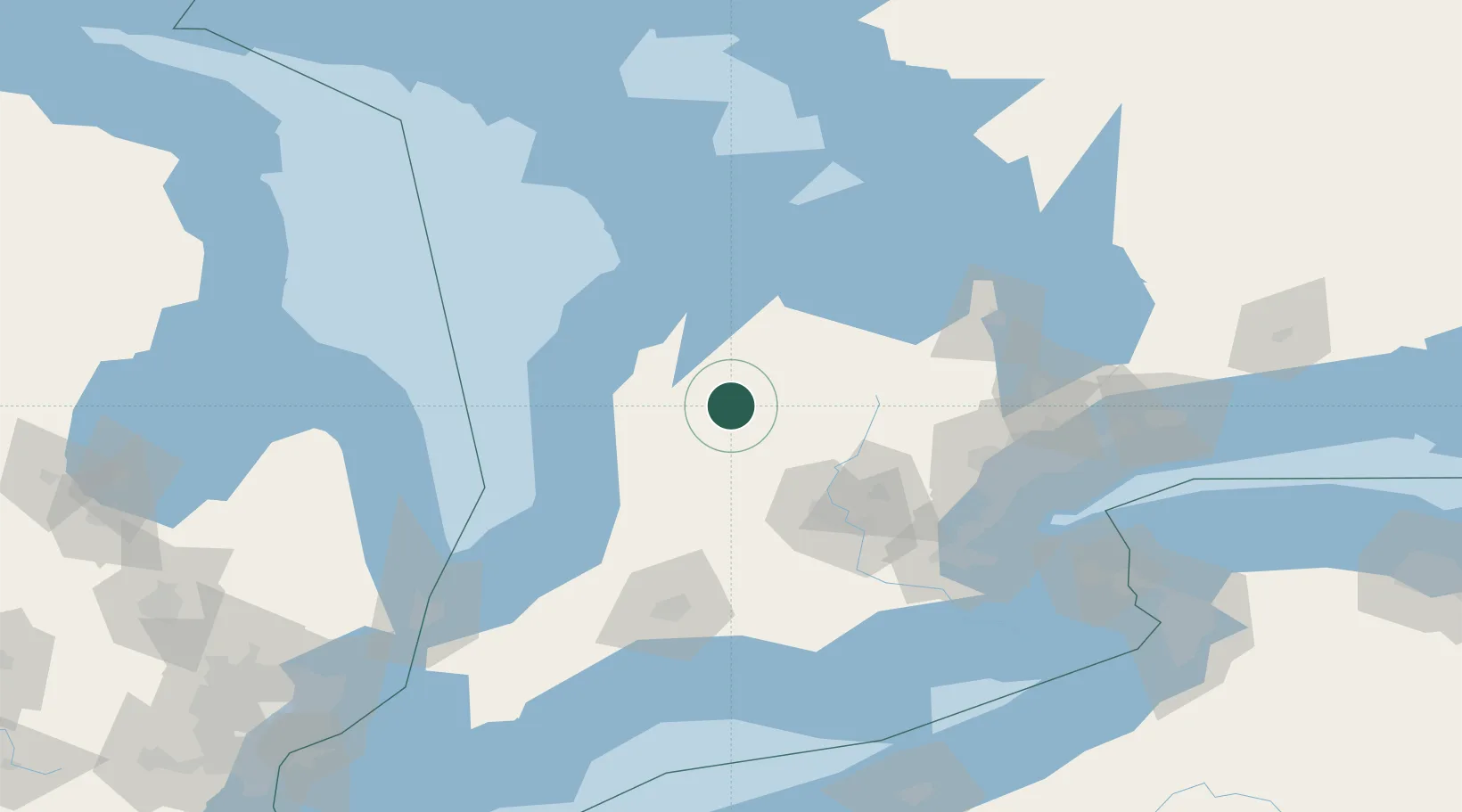
Place type
Populated place
Region
Ontario
Time zone
America/Toronto
Elevation
376 m
Location
Nearby Logistics Neighbours
Cities
- 1Gorrie16 km
- 2Palmerston18 km
- 3Hanover19 km
- 4Walkerton24 km
- 5Atwood34 km
Ports
- 1Port Elgin62 km
- 2Goderich66 km
- 3Southampton68 km
- 4Owen Sound69 km
- 5Meaford78 km
Airports
Trade Zones
- 1FTZ No. 034 Niagara County165 km
- 2FTZ No. 210 St. Clair County178 km
- 3Niagara Foreign Trade Zone183 km
- 4FTZ No. 023 Buffalo208 km
- 5FTZ No. 247 Erie217 km
DatabookThe Record of Consolidated Knowledge
Canada beyond logistics?