Transport Functions
Road
Multimodal
Hub Profile
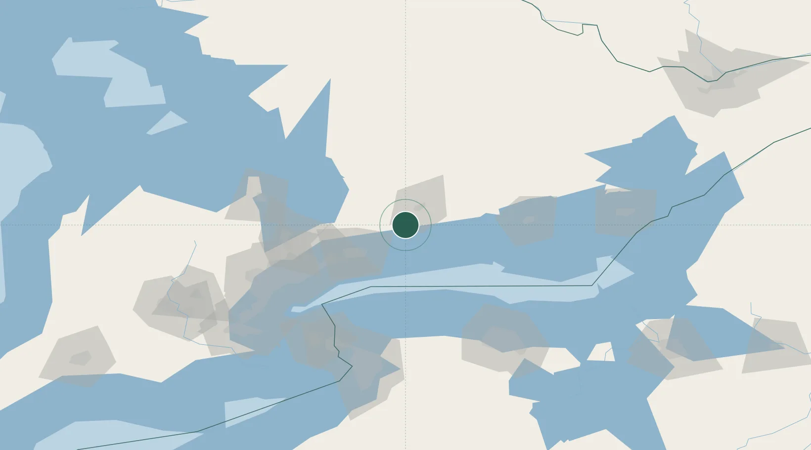
Place type
Populated place
Region
Ontario
Population
1,695
Time zone
America/Toronto
Elevation
215 m
Location
Nearby Logistics Neighbours
Cities
- 1Peterborough19 km
- 2Harwood21 km
- 3Keene25 km
- 4Blackstock27 km
- 5Newcastle28 km
Ports
- 1Port Hope28 km
- 2Cobourg32 km
- 3Oshawa43 km
- 4Port Whitby51 km
- 5Trenton71 km
Airports
Trade Zones
- 1FTZ No. 141 Monroe County104 km
- 2FTZ No. 034 Niagara County106 km
- 3Niagara Foreign Trade Zone127 km
- 4FTZ No. 023 Buffalo146 km
- 5FTZ No. 289 Ontario County165 km
DatabookThe Record of Consolidated Knowledge
Canada beyond logistics?