Transport Functions
Port
Road
Multimodal
Hub Profile
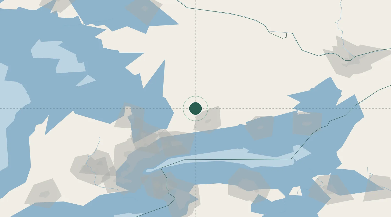
Place type
Populated place
Region
Ontario
Population
3,576
Time zone
America/Toronto
Elevation
258 m
Location
Nearby Logistics Neighbours
Cities
- 1Peterborough31 km
- 2Millbrook43 km
- 3Cannington44 km
- 4Keene44 km
- 5Blackstock52 km
Ports
- 1Port Hope70 km
- 2Cobourg72 km
- 3Oshawa77 km
- 4Port Whitby82 km
- 5Trenton92 km
Airports
- 1Peterborough Regional Airport37 km
- 2Oshawa Executive Airport73 km
- 3Muskoka Airport77 km
- 4Barrie-Lake Simcoe Regional Airport80 km
- 5CFB Trenton93 km
Trade Zones
- 1FTZ No. 034 Niagara County142 km
- 2FTZ No. 141 Monroe County146 km
- 3Niagara Foreign Trade Zone165 km
- 4FTZ No. 023 Buffalo186 km
- 5FTZ No. 090 Onondaga200 km
DatabookThe Record of Consolidated Knowledge
Canada beyond logistics?