Transport Functions
Port
Road
Hub Profile
Place type
Populated place
Region
Ontario
Time zone
America/Toronto
Elevation
222 m
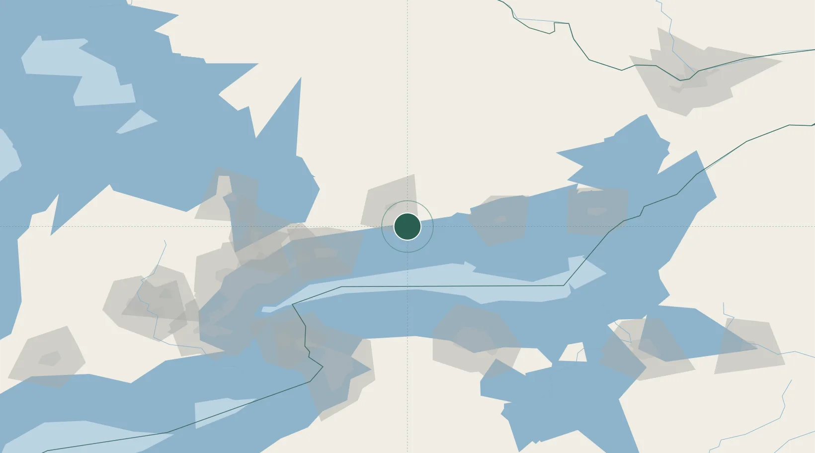
Location
Nearby Logistics Neighbours
Cities
- 1Keene13 km
- 2Alnwick/Haldimand13 km
- 3Cobourg19 km
- 4Millbrook21 km
- 5Peterborough22 km
Ports
- 1Cobourg20 km
- 2Port Hope24 km
- 3Trenton49 km
- 4Oshawa59 km
- 5Belleville63 km
Airports
Trade Zones
- 1FTZ No. 141 Monroe County96 km
- 2FTZ No. 034 Niagara County117 km
- 3Niagara Foreign Trade Zone135 km
- 4FTZ No. 023 Buffalo151 km
- 5FTZ No. 090 Onondaga152 km
DatabookThe Record of Consolidated Knowledge
Canada beyond logistics?