Transport Functions
Multimodal
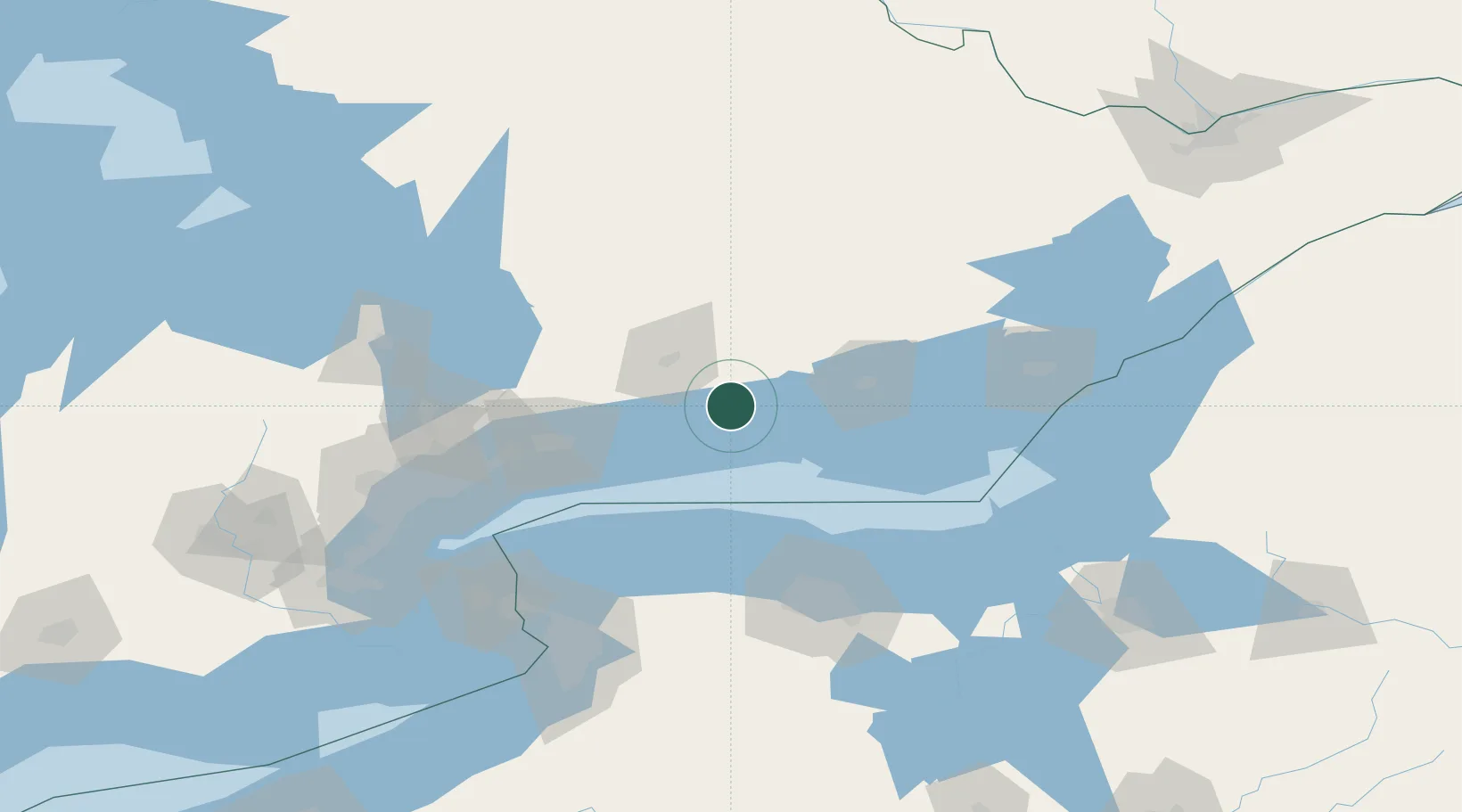
Hub Profile
Region
ON
Location
Nearby Logistics Neighbours
Cities
- 1Harwood13 km
- 2Cobourg17 km
- 3Keene21 km
- 4Campbellford31 km
- 5Peterborough34 km
Ports
- 1Cobourg18 km
- 2Port Hope26 km
- 3Trenton37 km
- 4Belleville51 km
- 5Oshawa67 km
Airports
Trade Zones
- 1FTZ No. 141 Monroe County89 km
- 2FTZ No. 034 Niagara County121 km
- 3Niagara Foreign Trade Zone137 km
- 4FTZ No. 090 Onondaga138 km
- 5FTZ No. 289 Ontario County147 km
DatabookThe Record of Consolidated Knowledge
Canada beyond logistics?