Transport Functions
Rail
Road
Multimodal
Hub Profile
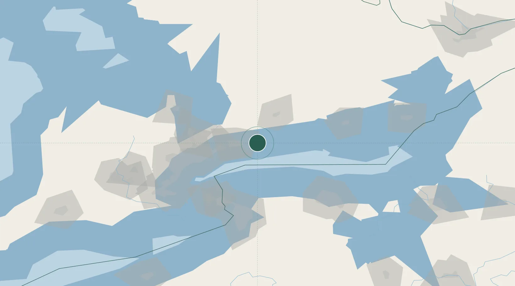
Place type
Populated place
Region
New Brunswick
Population
1,149
Time zone
America/Moncton
Elevation
4 m
Location
Nearby Logistics Neighbours
Cities
- 1Blackstock26 km
- 2Millbrook28 km
- 3Ashburn31 km
- 4Cobourg34 km
- 5Harwood40 km
Ports
- 1Oshawa20 km
- 2Port Hope24 km
- 3Port Whitby29 km
- 4Cobourg34 km
- 5Toronto72 km
Airports
Trade Zones
- 1FTZ No. 034 Niagara County78 km
- 2FTZ No. 141 Monroe County86 km
- 3Niagara Foreign Trade Zone99 km
- 4FTZ No. 023 Buffalo118 km
- 5FTZ No. 289 Ontario County148 km
DatabookThe Record of Consolidated Knowledge
Canada beyond logistics?