Transport Functions
Port
Rail
Road
Hub Profile
Place type
Populated place
Region
Ontario
Population
18,099
Time zone
America/Toronto
Elevation
82 m
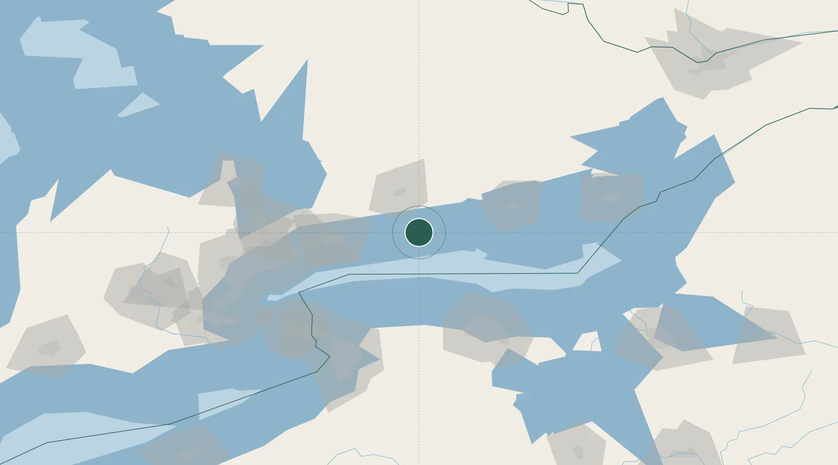
Location
Nearby Logistics Neighbours
Cities
- 1Alnwick/Haldimand17 km
- 2Harwood19 km
- 3Millbrook31 km
- 4Keene32 km
- 5Newcastle34 km
Ports
- 1Port Hope10 km
- 2Trenton50 km
- 3Oshawa53 km
- 4Port Whitby63 km
- 5Belleville65 km
Airports
Trade Zones
- 1FTZ No. 141 Monroe County78 km
- 2FTZ No. 034 Niagara County104 km
- 3Niagara Foreign Trade Zone120 km
- 4FTZ No. 023 Buffalo134 km
- 5FTZ No. 289 Ontario County138 km
DatabookThe Record of Consolidated Knowledge
Canada beyond logistics?