Transport Functions
Rail
Road
Hub Profile
Place type
Populated place
Region
Ontario
Population
16,010
Time zone
America/Toronto
Elevation
240 m
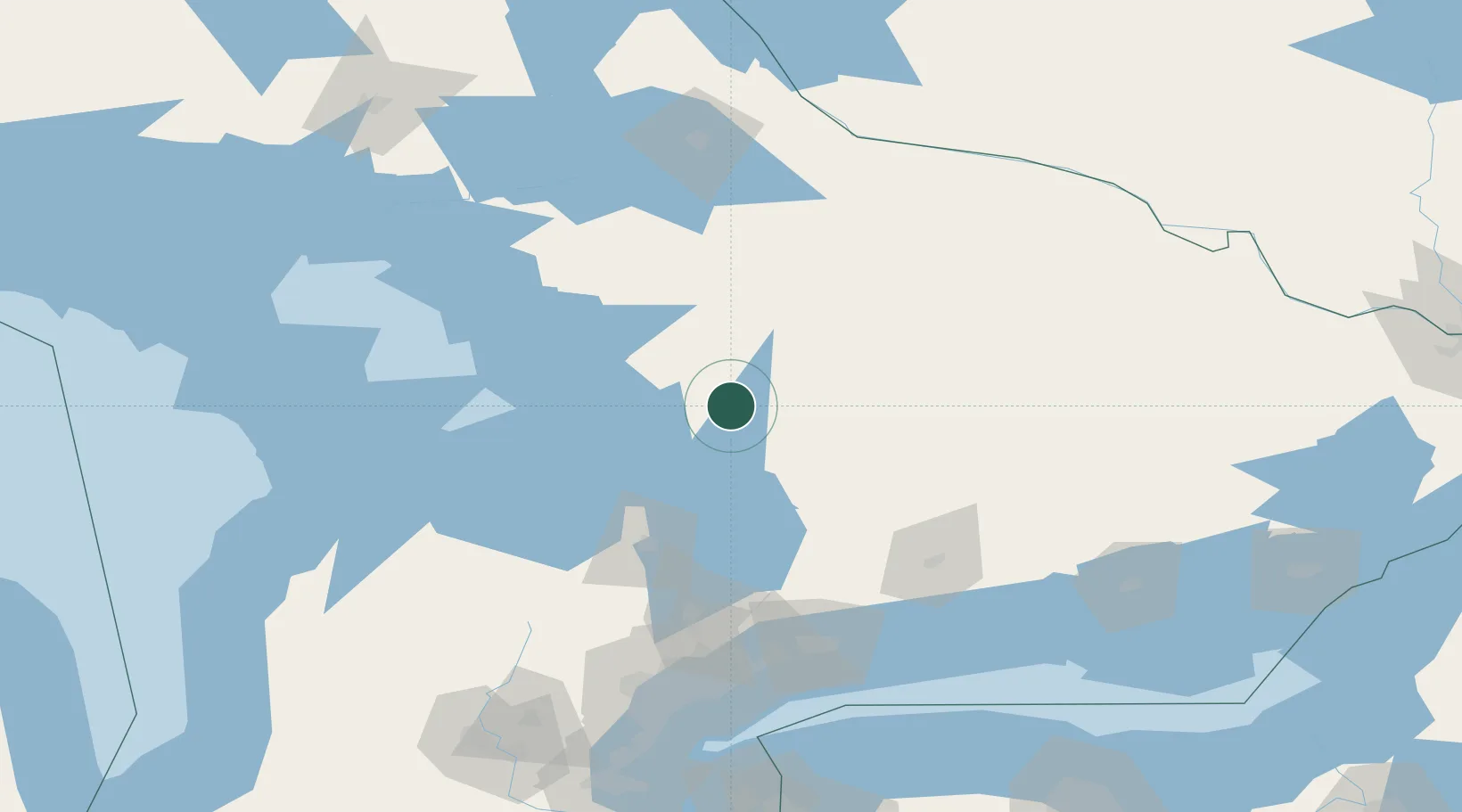
Location
Nearby Logistics Neighbours
Cities
- 1Crystal Beach8 km
- 2Bala24 km
- 3Victoria Harbour50 km
- 4Penetanguishene59 km
- 5Burks Falls66 km
Ports
- 1Midland59 km
- 2Penetanguishene59 km
- 3Parry Sound66 km
- 4Collingwood96 km
- 5Thornbury105 km
Airports
- 1Muskoka Airport8 km
- 2Huronia Airport64 km
- 3Barrie-Lake Simcoe Regional Airport66 km
- 4Peterborough Regional Airport117 km
- 5Oshawa Executive Airport129 km
Trade Zones
- 1FTZ No. 034 Niagara County192 km
- 2Niagara Foreign Trade Zone219 km
- 3FTZ No. 141 Monroe County223 km
- 4FTZ No. 023 Buffalo244 km
- 5FTZ No. 090 Onondaga282 km
DatabookThe Record of Consolidated Knowledge
Canada beyond logistics?