Transport Functions
Port
Rail
Road
Multimodal
Hub Profile
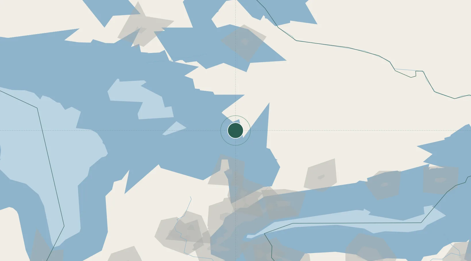
Place type
Populated place
Region
Ontario
Time zone
America/Toronto
Elevation
230 m
Location
Nearby Logistics Neighbours
Cities
- 1Crystal Beach17 km
- 2Bracebridge24 km
- 3Victoria Harbour31 km
- 4Penetanguishene37 km
- 5Elmvale50 km
Ports
- 1Penetanguishene37 km
- 2Midland37 km
- 3Parry Sound50 km
- 4Collingwood75 km
- 5Thornbury83 km
Airports
- 1Muskoka Airport23 km
- 2Huronia Airport44 km
- 3Barrie-Lake Simcoe Regional Airport57 km
- 4Owen Sound / Billy Bishop Regional Airport108 km
- 5Wiarton Airport122 km
Trade Zones
- 1FTZ No. 034 Niagara County190 km
- 2Niagara Foreign Trade Zone217 km
- 3FTZ No. 141 Monroe County231 km
- 4FTZ No. 023 Buffalo243 km
- 5FTZ No. 289 Ontario County293 km
DatabookThe Record of Consolidated Knowledge
Canada beyond logistics?