Transport Functions
Port
Rail
Road
Hub Profile
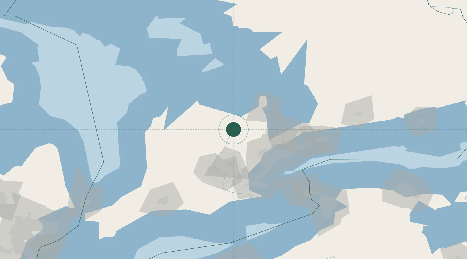
Place type
Populated place
Region
Ontario
Population
8,126
Time zone
America/Toronto
Elevation
497 m
Location
Nearby Logistics Neighbours
Cities
- 1Mulmur15 km
- 2Maxwell30 km
- 3Palgrave32 km
- 4Belfountain34 km
- 5Belwood35 km
Ports
- 1Collingwood48 km
- 2Thornbury59 km
- 3Meaford69 km
- 4Port Credit76 km
- 5Midland79 km
Airports
Trade Zones
- 1FTZ No. 034 Niagara County120 km
- 2Niagara Foreign Trade Zone143 km
- 3FTZ No. 023 Buffalo170 km
- 4FTZ No. 141 Monroe County200 km
- 5FTZ No. 247 Erie217 km
DatabookThe Record of Consolidated Knowledge
Canada beyond logistics?