Transport Functions
Rail
Road
Hub Profile
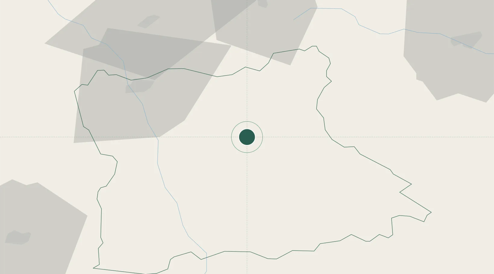
Place type
Populated place
Region
Blagoevgrad
Population
9,232
Time zone
Europe/Sofia
Elevation
916 m
Location
Nearby Logistics Neighbours
Ports
- 1Kavala125 km
- 2Thessaloniki142 km
- 3Stratoni149 km
- 4Lagos165 km
- 5Yerakini174 km
Airports
Trade Zones
- 1TIDZ Berovo57 km
- 2TIDZ Delčevo62 km
- 3TIDZ Strumica83 km
- 4Plovdiv Free Zone84 km
- 5TIDZ Vinica84 km
DatabookThe Record of Consolidated Knowledge
Bulgaria beyond logistics?