Transport Functions
Multimodal
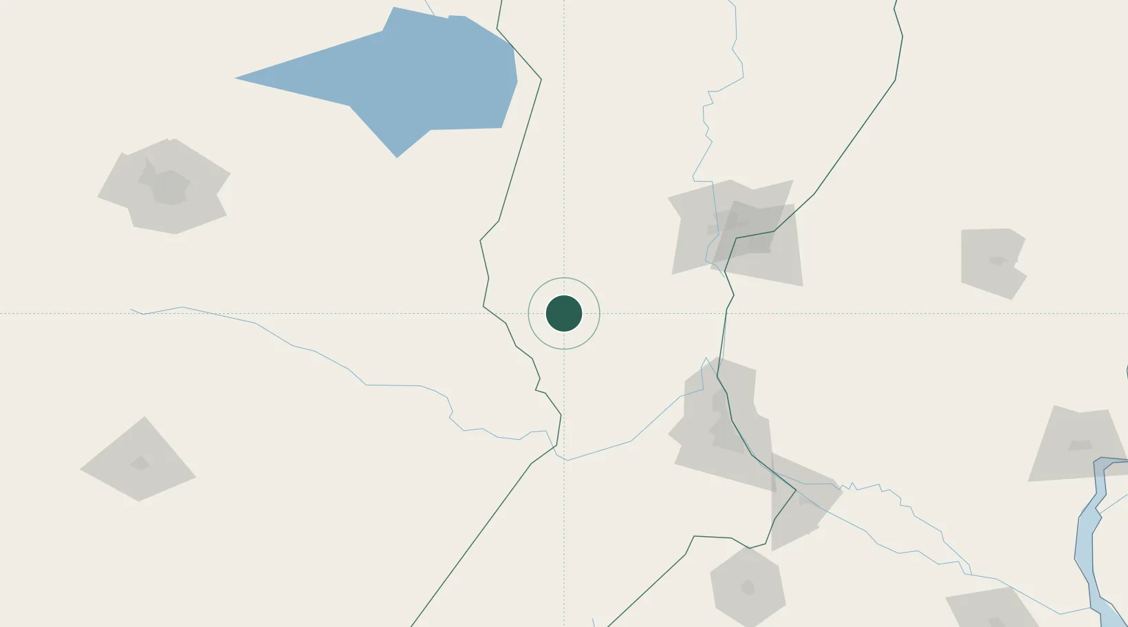
Hub Profile
Place type
Populated place
Region
Santa Fe
Population
10,871
Time zone
America/Argentina/Cordoba
Elevation
89 m
Location
Nearby Logistics Neighbours
Cities
- 1Canada Rosquin19 km
- 2Las Parejas58 km
- 3San Francisco91 km
- 4Timbúes101 km
- 5Diamante101 km
Ports
- 1Diamante101 km
- 2Puerto San Martin110 km
- 3San Lorenzo112 km
- 4Santa Fe113 km
- 5Parana123 km
Airports
Trade Zones
- 1Córdoba Free Trade Zone253 km
- 2Zona Franca UPM341 km
- 3UPM Fray Bentos Free Zone341 km
- 4Nueva Palmira Free Zone361 km
- 5Justo Daract Free Trade Zone372 km
DatabookThe Record of Consolidated Knowledge
Argentina beyond logistics?