Free Trade Zone · China

Suining Economic Development Zone Active
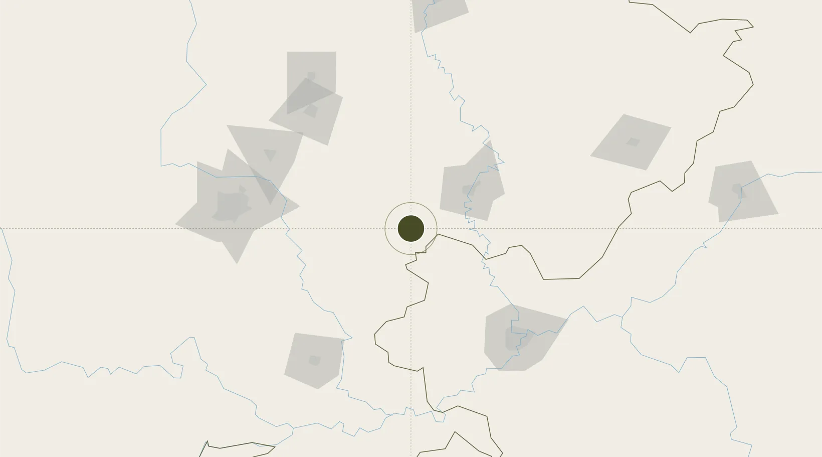
30.4832°, 105.6008°
6,602 ha
Zone area
831.4 km
Nearest port
64.3 km
Nearest airport

Gateway access

Nearest neighbours — logibook spatial index (haversine) over the source coordinates

Zone profile

Zone type
Free Trade Zone
Open Zone Map
Region
Sichuan
Open Zone Map
Status
Active
Open Zone Map
Management
Public
Open Zone Map
Operator
Working Committee of Suining Economic Development Zone
Open Zone Map
Legal framework
National Green Development Plan of Suining Economic and Technological Development Zone (2018-2025)
Open Zone Map

Location

Location of ozm-1573
Natural Earth 10m (public domain) · Sichuan · ozm-1573 · 30.48, 105.60GoogleOSMYandex

Nearby Logistics Neighbours

Ports
  1. 1Hankow831 km
  2. 2Fang-Cheng1009 km
  3. 3Qinzhou1017 km
  4. 4Beihai1059 km
  5. 5Cam Pha1066 km
Nearest neighbours — logibook spatial index (haversine) over the source coordinates
Airports
  1. 1Nanchong Gaoping Airport64 km
  2. 2Chengdu Huaizhou Airport105 km
  3. 3Chengdu Tianfu International Airport113 km
  4. 4Langzhong Gucheng Airport121 km
  5. 5Chongqing Baishiyi Air Base132 km
Nearest neighbours — logibook spatial index (haversine) over the source coordinates
Cities
  1. 1Suining9 km
  2. 2Ziyang103 km
  3. 3Tianfu, Chengdu112 km
  4. 4Chongqing136 km
  5. 5Deyang136 km
Nearest neighbours — logibook spatial index (haversine) over the source coordinates
Trade Zones
  1. 1Suining Anju Economic Development Zone0 km
  2. 2Daying Economic Development Zone34 km
  3. 3Shehong Economic Development Zone43 km
  4. 4Tongnan High-Tech Industrial Development Zone43 km
  5. 5Nanchong Economic Development Zone56 km
Nearest neighbours — logibook spatial index (haversine) over the source coordinates
DatabookThe Record of Consolidated Knowledge
China beyond logistics?
Browse databook

All Sources

Trade ZonesOpen Zone Map
CC BY
Portsthe NGA World Port Index
Public domain (US gov)
AirportsOurAirports
Public domain
LocationsUN/LOCODE
UN/LOCODE — free
← China trade zones