Transport Functions
Road
Multimodal
Hub Profile
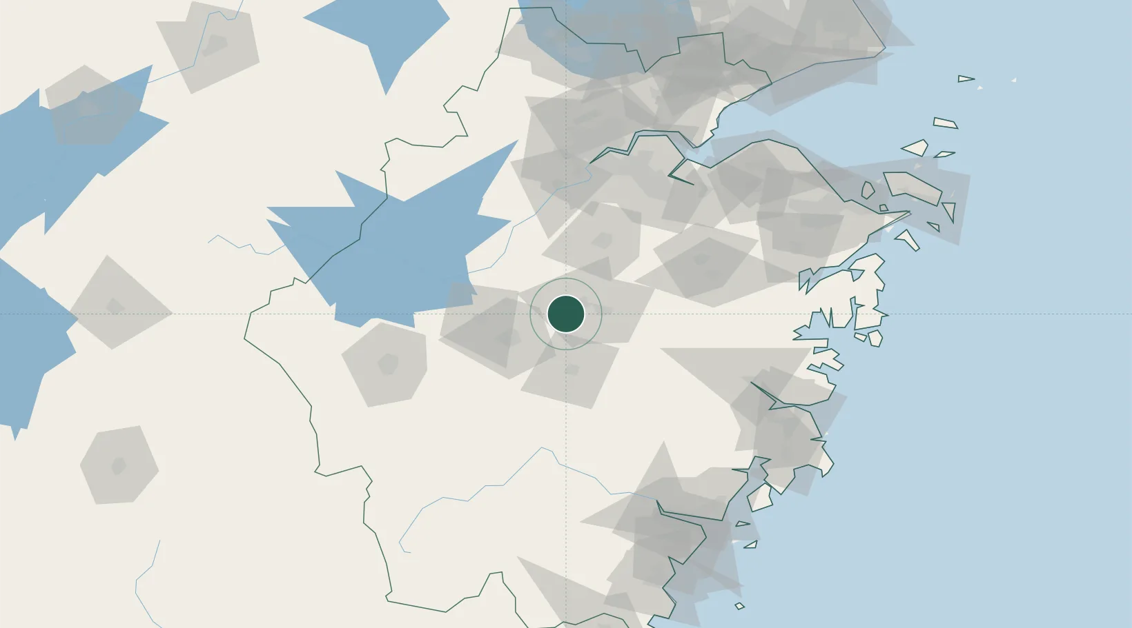
Place type
Populated place
Region
Zhejiang
Time zone
Asia/Shanghai
Elevation
204 m
Location
Nearby Logistics Neighbours
Airports
- 1Yiwu Airport9 km
- 2Jiande Qiandaohu General Airport80 km
- 3Quzhou Airport112 km
- 4Hangzhou Xiaoshan International Airport116 km
- 5Hangzhou Jianqiao Airport121 km
Trade Zones
- 1Yiwu Economic and Technological Development Zone4 km
- 2Jinhua Economic and Technological Development Zone45 km
- 3Shaoxing Paojiang Economic and Technological Development Zone (Shaoxing Paojiang New Area)93 km
- 4Lishui Economic and Technological Development Zone94 km
- 5Hangzhou Zhijiang National Tourist Resort102 km
DatabookThe Record of Consolidated Knowledge
China beyond logistics?