Transport Functions
Port
Rail
Road
Hub Profile
Place type
Populated place
Region
Zhejiang
Population
73,706
Time zone
Asia/Shanghai
Elevation
38 m
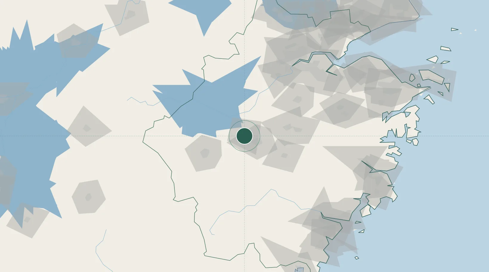
Location
Nearby Logistics Neighbours
Airports
- 1Jiande Qiandaohu General Airport33 km
- 2Yiwu Airport57 km
- 3Quzhou Airport61 km
- 4Huangshan Tunxi International Airport131 km
- 5Hangzhou Jianqiao Airport147 km
DatabookThe Record of Consolidated Knowledge
China beyond logistics?