About
Methodology
Sources
Licensing
English
EN
English
TR
Türkçe
DE
Deutsch
FR
Français
ES
Español
IT
Italiano
PT
Português
NL
Nederlands
PL
Polski
RU
Русский
UK
Українська
CS
Čeština
RO
Română
EL
Ελληνικά
BG
Български
AR
العربية
FA
فارسی
UR
اردو
HI
हिन्दी
BN
বাংলা
ID
Bahasa Indonesia
VI
Tiếng Việt
ZH
中文
JA
日本語
KO
한국어
logibook
/
Countries
/
China
/
Locations
/
Tonglu
UN/LOCODE hub ·
China
CN
TON
Tonglu
29.8000°, 119.6667°
2
Transport functions
Transport Functions
Road
Multimodal
UN/LOCODE
Hub Profile
Place type
Populated place
GeoNames
Region
Zhejiang
GeoNames
Time zone
Asia/Shanghai
GeoNames
Elevation
30 m
GeoNames
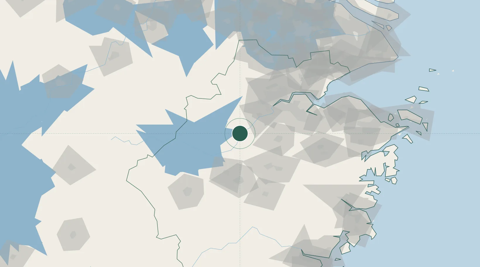
Location
Natural Earth 10m (public domain) · Zhejiang · CNTON · 29.80, 119.67
Google ↗
OSM ↗
Yandex ↗
Nearby Logistics Neighbours
Cities
1
Yongkang
46 km
2
Hangzhou
54 km
3
Zhuji
56 km
4
Yiwu
65 km
5
Xiangshan
68 km
Nearest neighbours — logibook spatial index (haversine) over the source coordinates
Ports
1
Zhapu
162 km
2
Ningbo
182 km
3
Zhen Hai
197 km
4
Haimen
213 km
5
Wenzhou
220 km
Nearest neighbours — logibook spatial index (haversine) over the source coordinates
Airports
1
Yiwu Airport
62 km
2
Jiande Qiandaohu General Airport
68 km
3
Hangzhou Jianqiao Airport
81 km
4
Hangzhou Xiaoshan International Airport
88 km
5
Anji Tianzihu General Airport
111 km
Nearest neighbours — logibook spatial index (haversine) over the source coordinates
Trade Zones
1
Hangzhou Zhijiang National Tourist Resort
56 km
2
Yiwu Economic and Technological Development Zone
68 km
3
Shaoxing Keqiao Economic and Technological Development Zone
68 km
4
Hangzhou Hi-tech Industrial Development Zone (Binjiang District)
70 km
5
Shaoxing Hi-tech Industrial Development Zone
73 km
Nearest neighbours — logibook spatial index (haversine) over the source coordinates
Data
book
The Record of Consolidated Knowledge
China beyond logistics?
Browse databook
→
All Sources
Locations
UN/LOCODE
UN/LOCODE — free
↗
Ports
the NGA World Port Index
Public domain (US gov)
↗
Airports
OurAirports
Public domain
↗
Trade Zones
the World Bank SEZ database
CC BY 4.0
↗
Trade Zones
Open Zone Map
CC BY
↗
← China locations