Medium airport · China

Huatugou AirportZLHX
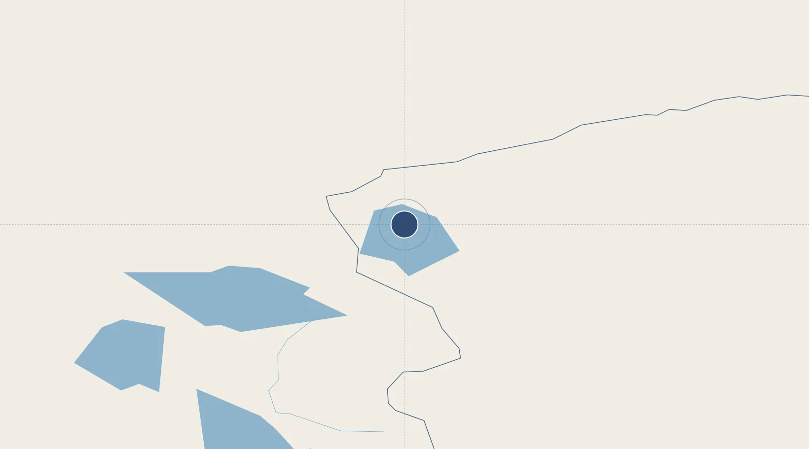
38.2016°, 90.8378°
11,811 ft
Longest runway
1
Runways
2,945 ft
Elevation

Runway & Layout

Huatugou Airport runway & taxiway layout
Runway & taxiway layout — OpenStreetMap (ODbL) / OurAirports

Runways · 1

RunwayDimensions SurfaceTrue headingLit
15/33 11,811 × —ft
OurAirports

Airport Specifications

IATA code
HTT
OurAirports
ICAO code
ZLHX
OurAirports
Airport class
Medium airport
OurAirports
Scheduled service
Yes
OurAirports
Served city
Mengnai
OurAirports

Location

Location of ZLHX
Natural Earth 10m (public domain) · Qinghai · ZLHX · 38.20, 90.84GoogleOSMYandex

Nearby Logistics Neighbours

Airports
  1. 1Ruoqiang Loulan Airport261 km
  2. 2Golmud Airport403 km
  3. 3Dunhuang Mogao International Airport406 km
  4. 4Qiemo Yudu Airport469 km
  5. 5Shanshan Airport526 km
Nearest neighbours — logibook spatial index (haversine) over the source coordinates
Cities
  1. 1Dunhuang395 km
  2. 2Shanshan522 km
  3. 3Dermott522 km
  4. 4Chatfield636 km
  5. 5Urumqi674 km
Nearest neighbours — logibook spatial index (haversine) over the source coordinates
Ports
  1. 1Mongla1754 km
  2. 2Calcutta1757 km
  3. 3Chittagong1769 km
  4. 4Haldia Port1819 km
  5. 5Dhamra1969 km
Nearest neighbours — logibook spatial index (haversine) over the source coordinates
DatabookThe Record of Consolidated Knowledge
China beyond logistics?
Browse databook

All Sources

AirportsOurAirports
Public domain
Portsthe NGA World Port Index
Public domain (US gov)
LocationsUN/LOCODE
UN/LOCODE — free
Trade Zonesthe World Bank SEZ database
CC BY 4.0
Trade ZonesOpen Zone Map
CC BY
InfrastructureOpenStreetMap
ODbL 1.0
← China airports