Medium airport · Australia
Wiluna AirportYWLU
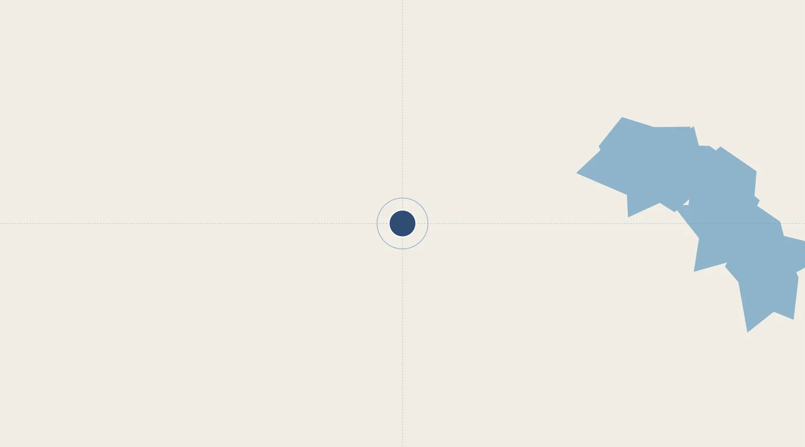
-26.6292°, 120.2210°
5,942 ft
Longest runway
2
Runways
1,649 ft
Elevation
Runway & Layout

Radio Frequencies
CTAF
127.2 MHz
FSS
118.95 MHz
MELBOURNE CNTR
Navaids
WLU NDB Wiluna 383 kHz
Runways · 2
| Runway | Dimensions | Surface | True heading | Lit |
|---|---|---|---|---|
| 15/33 | 5,942 × 98ft | Asphalt | 147° | ✓ |
| 03/21 | 3,999 × 98ft | Sand | 034° | — |
Airport Specifications
IATA code
WUN
ICAO code
YWLU
Airport class
Medium airport
Scheduled service
Yes
Runway surface
Asphalt
Location
Nearby Logistics Neighbours
Airports
- 1Mount Keith Airport80 km
- 2Leinster Airport143 km
- 3Meekatharra Airport166 km
- 4Leonora Airport272 km
- 5Mount Magnet Airport287 km
Cities
- 1Mount Magnet284 km
- 2Melville385 km
- 3Koolyanbobbing472 km
- 4Bonnie Vale477 km
- 5Broadwood477 km
Ports
- 1Geraldton603 km
- 2Useless Loop682 km
- 3Port Hedland722 km
- 4Port Walcott733 km
- 5Cape Cuvier737 km
Trade Zones
- 1Oecusse Ambeno Enclave Special Zone For Social Market Economy (Zeesm)1971 km
- 2KEK Mandalika2015 km
- 3Atauro Special Economic Zone2124 km
- 4KEK Singhasari2233 km
- 5Pasuruan Industrial Estate Rembang2255 km
DatabookThe Record of Consolidated Knowledge
Australia beyond logistics?