Transport Functions
Rail
Road
Hub Profile
Place type
Regional capital
Region
Kabardino-Balkariya Republic
Population
239,300
Time zone
Europe/Moscow
Elevation
464 m
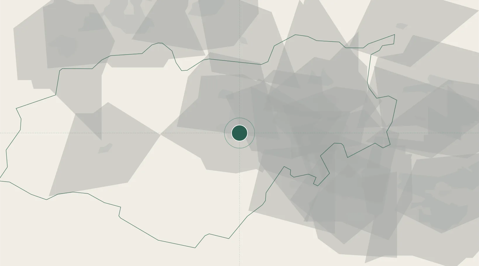
Location
Nearby Logistics Neighbours
Cities
- 1Georgievsk75 km
- 2Pyatigorsk76 km
- 3Beslan82 km
- 4Karabulak104 km
- 5Chrebalo117 km
Ports
- 1Supsa Marine Terminal218 km
- 2Sokhumi220 km
- 3Batumi260 km
- 4Hopa293 km
- 5Sochi313 km
Airports
Trade Zones
DatabookThe Record of Consolidated Knowledge
Russia beyond logistics?