Transport Functions
Multimodal
Hub Profile
Place type
Populated place
Region
Brandenburg
Time zone
Europe/Berlin
Elevation
40 m
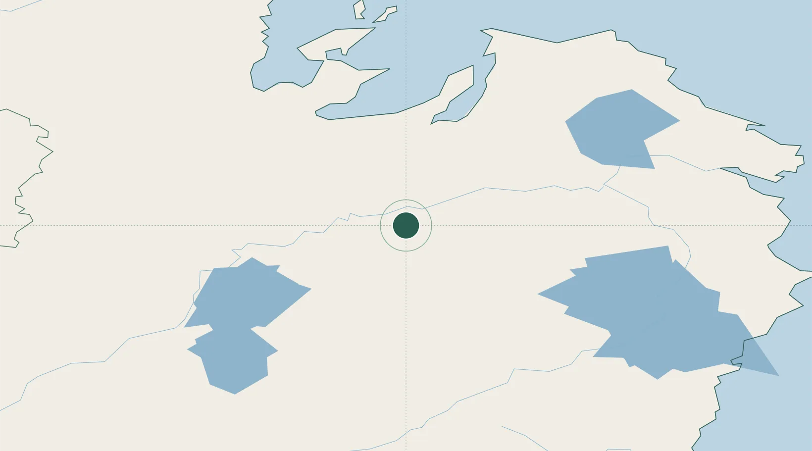
Location
Nearby Logistics Neighbours
Ports
- 1Nikolayevsk Na Amur192 km
- 2De Kastri229 km
- 3Lazarev243 km
- 4Moskal Vo319 km
- 5Aleksandrovsk -Sakhalinskiy343 km
Airports
- 1Bogorodskoye Airport168 km
- 2Nikolayevsk-na-Amure Airport188 km
- 3Dzemgi Airport232 km
- 4Komsomolsk-on-Amur Airport256 km
- 5Udskoye Airport317 km
DatabookThe Record of Consolidated Knowledge
Germany beyond logistics?