Runway & Layout

Airport Specifications
IATA code
UMS
ICAO code
UEMU
Airport class
Small airport
Scheduled service
Yes
Served city
Ust-Maya
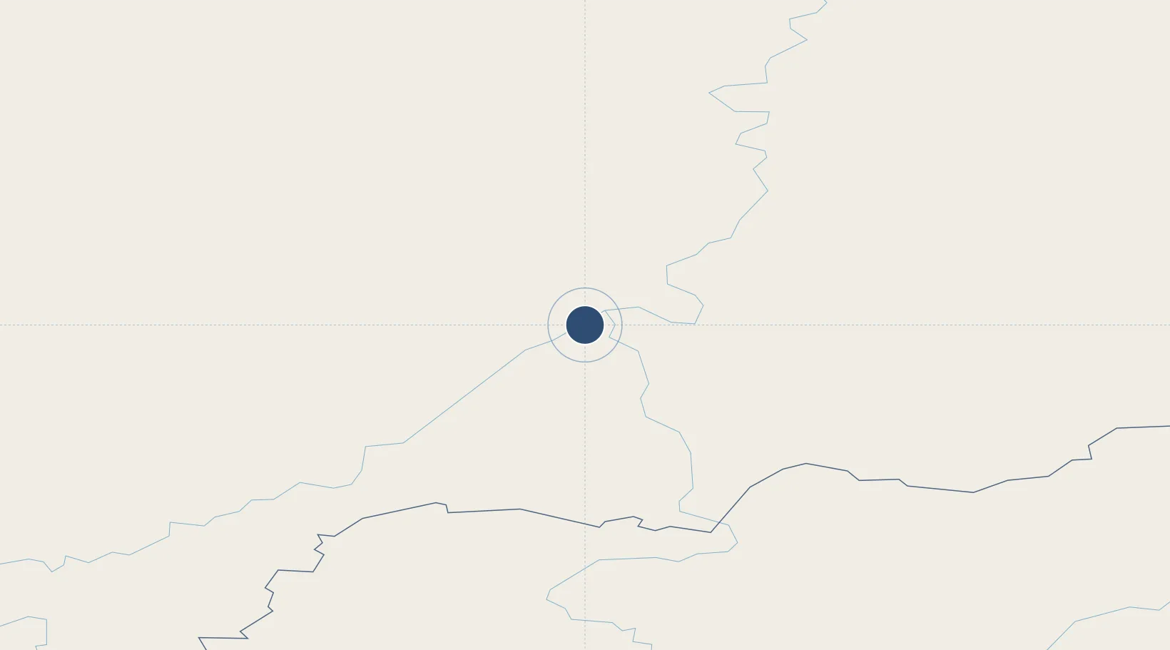
Location
Nearby Logistics Neighbours
Airports
- 1Kutana Airport209 km
- 2Platon Oyunsky Yakutsk International Airport316 km
- 3Magan Airport326 km
- 4Okhotsk Airport492 km
- 5Ust-Nera Airport644 km
Cities
- 1Alabel724 km
- 2Freienbrink888 km
- 3Okha, Sakhalin915 km
- 4Widuchowa942 km
- 5Tygda943 km
Ports
- 1Okhotsk Iy Reyd501 km
- 2Nikolayevsk Na Amur889 km
- 3Moskal Vo897 km
- 4Okha916 km
- 5Lazarev1004 km
Trade Zones
DatabookThe Record of Consolidated Knowledge
Russia beyond logistics?