Runway & Layout
Airport Specifications
IATA code
KHZ
ICAO code
NTKA
Airport class
Small airport
Scheduled service
Yes
Served city
Kauehi
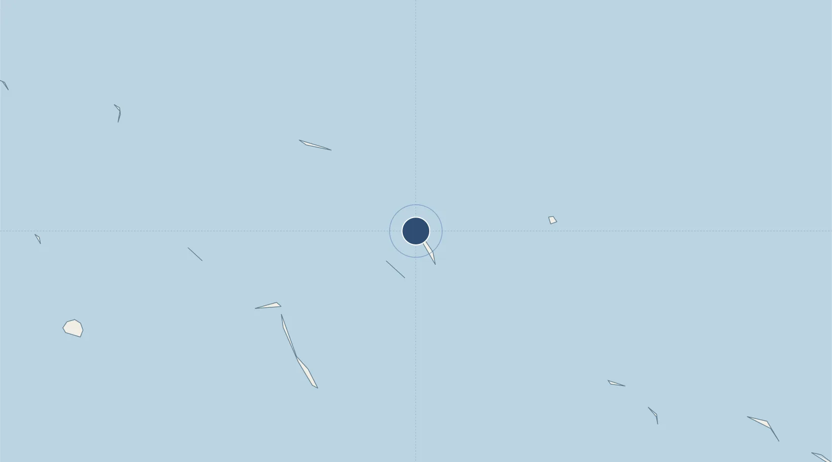
Location
Nearby Logistics Neighbours
Airports
- 1Fakarava Airport64 km
- 2Takapoto Airport120 km
- 3Naiu Airport138 km
- 4Apataki Airport140 km
- 5Takaroa Airport148 km
Cities
- 1Niau138 km
- 2Hereheretue455 km
- 3Ikitake509 km
- 4Papeete513 km
- 5Otepa519 km
Ports
- 1Papeete513 km
- 2Uturoa683 km
- 3Vaitape712 km
- 4Atuona936 km
- 5Baie Taiohae938 km
Trade Zones
- 1FTZ No. 009 Honolulu4351 km
- 2The Special Economic Zone of Lázaro Cárdenas - La Unión6015 km
- 3FTZ No. 153 San Diego6153 km
- 4FTZ No. 202 Los Angeles6198 km
- 5FTZ No. 050 Long Beach6212 km
DatabookThe Record of Consolidated Knowledge
French Polynesia beyond logistics?