UN/LOCODE hub · French Polynesia
PFOTP

Otepa

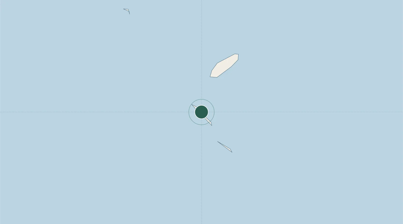
-18.1167°, -140.9000°
1,009
Population
1
Transport functions

Transport Functions

Port
UN/LOCODE

Hub Profile

Place type
Populated place
GeoNames
Region
Îles Tuamotu-Gambier
GeoNames
Population
1,009
GeoNames
Time zone
Pacific/Tahiti
GeoNames
Elevation
3 m
GeoNames

Location

Location of PFOTP
Natural Earth 10m (public domain) · Îles Tuamotu-Gambier · PFOTP · -18.12, -140.90GoogleOSMYandex

Nearby Logistics Neighbours

Cities
  1. 1Ikitake32 km
  2. 2Hereheretue473 km
  3. 3Niau622 km
  4. 4Fatu Hiva883 km
  5. 5Papeete921 km
Nearest neighbours — logibook spatial index (haversine) over the source coordinates
Ports
  1. 1Papeete921 km
  2. 2Atuona945 km
  3. 3Baie Taiohae1025 km
  4. 4Uturoa1130 km
  5. 5Vaitape1166 km
Nearest neighbours — logibook spatial index (haversine) over the source coordinates
Airports
  1. 1Hao Airport7 km
  2. 2Hikueru Airport192 km
  3. 3Fakahina Airport249 km
  4. 4Fangatau Airport255 km
  5. 5Tatakoto Airport273 km
Nearest neighbours — logibook spatial index (haversine) over the source coordinates
Trade Zones
  1. 1FTZ No. 009 Honolulu4757 km
  2. 2The Special Economic Zone of Lázaro Cárdenas - La Unión5830 km
  3. 3Special Economic Zone of Salina Cruz6286 km
  4. 4Special Economic Zone of Puerto Chiapas6446 km
  5. 5Special Economic Zone of Coatzacoalcos6478 km
Nearest neighbours — logibook spatial index (haversine) over the source coordinates
DatabookThe Record of Consolidated Knowledge
French Polynesia beyond logistics?
Browse databook

All Sources

LocationsUN/LOCODE
UN/LOCODE — free
LocationsGeoNames
CC BY 4.0
Portsthe NGA World Port Index
Public domain (US gov)
AirportsOurAirports
Public domain
Trade Zonesthe World Bank SEZ database
CC BY 4.0
Trade ZonesOpen Zone Map
CC BY
← French Polynesia locations