Transport Functions
Multimodal
Hub Profile
Region
CHI
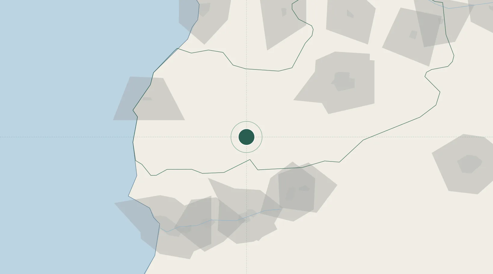
Location
Nearby Logistics Neighbours
Cities
- 1Essaouira68 km
- 2Taroudant78 km
- 3Marrakech96 km
- 4Anza110 km
- 5Aït Melloul111 km
Ports
- 1Essaouira96 km
- 2Agadir111 km
- 3Safi132 km
- 4El Jorf Lasfar218 km
- 5El Jadida234 km
Airports
- 1Essaouira-Mogador Airport83 km
- 2Marrakesh Menara Airport91 km
- 3Al Massira Airport108 km
- 4Ouarzazate International Airport187 km
- 5Mohammed V International Airport272 km
Trade Zones
DatabookThe Record of Consolidated Knowledge
Morocco beyond logistics?