Transport Functions
Port
Multimodal
Hub Profile
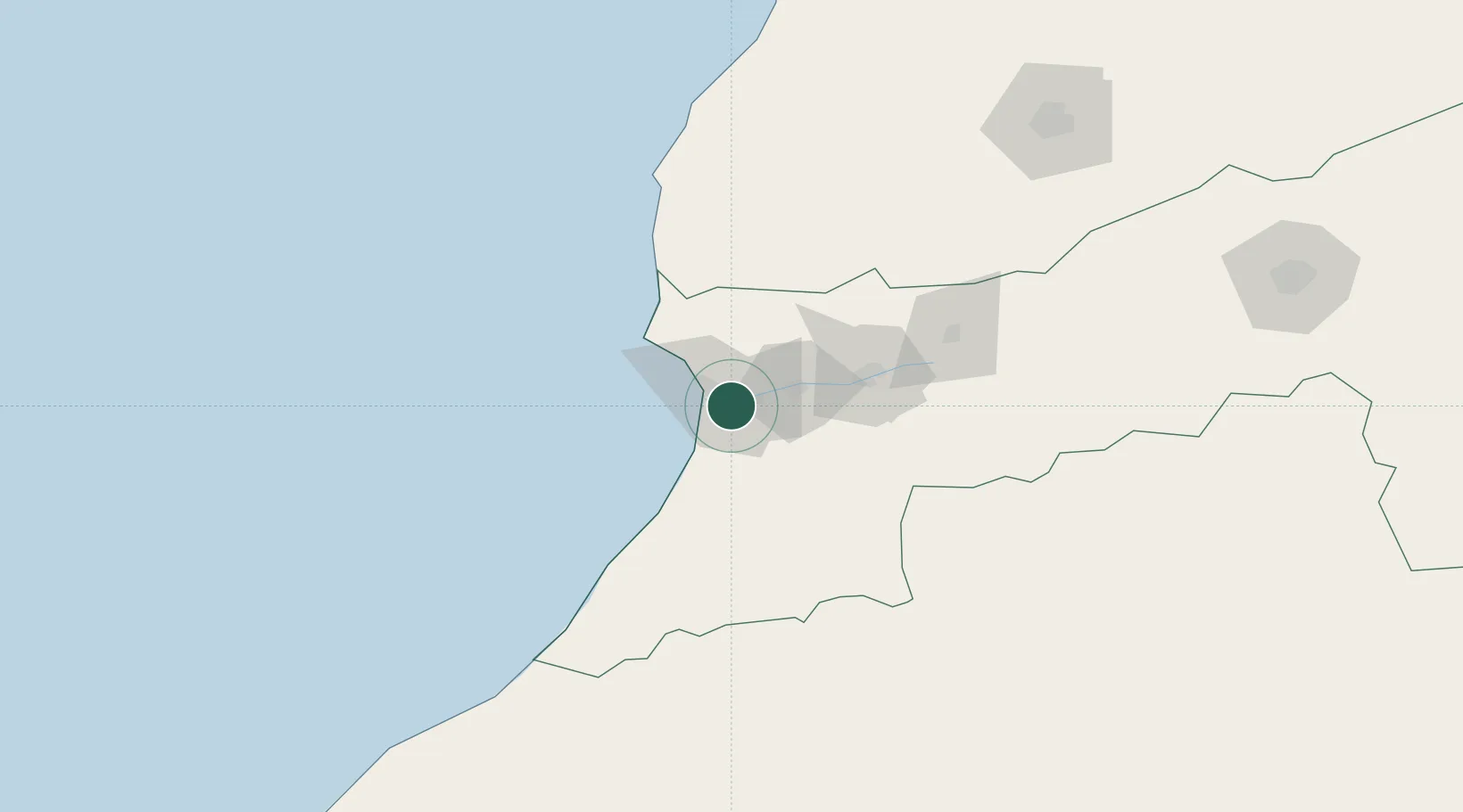
Place type
Populated place
Region
Souss-Massa
Population
187,652
Time zone
Africa/Casablanca
Elevation
20 m
Location
Nearby Logistics Neighbours
Cities
- 1Agadir17 km
- 2Anza21 km
- 3Taroudant61 km
- 4Imintanoute111 km
- 5Essaouira121 km
Ports
- 1Agadir18 km
- 2Essaouira133 km
- 3Safi220 km
- 4El Jorf Lasfar320 km
- 5El Jadida337 km
Airports
- 1Al Massira Airport7 km
- 2Essaouira-Mogador Airport120 km
- 3Marrakesh Menara Airport198 km
- 4Ouarzazate International Airport255 km
- 5Tan Tan Airport265 km
Trade Zones
DatabookThe Record of Consolidated Knowledge
Morocco beyond logistics?