UN/LOCODE hub · Morocco
MAAGA
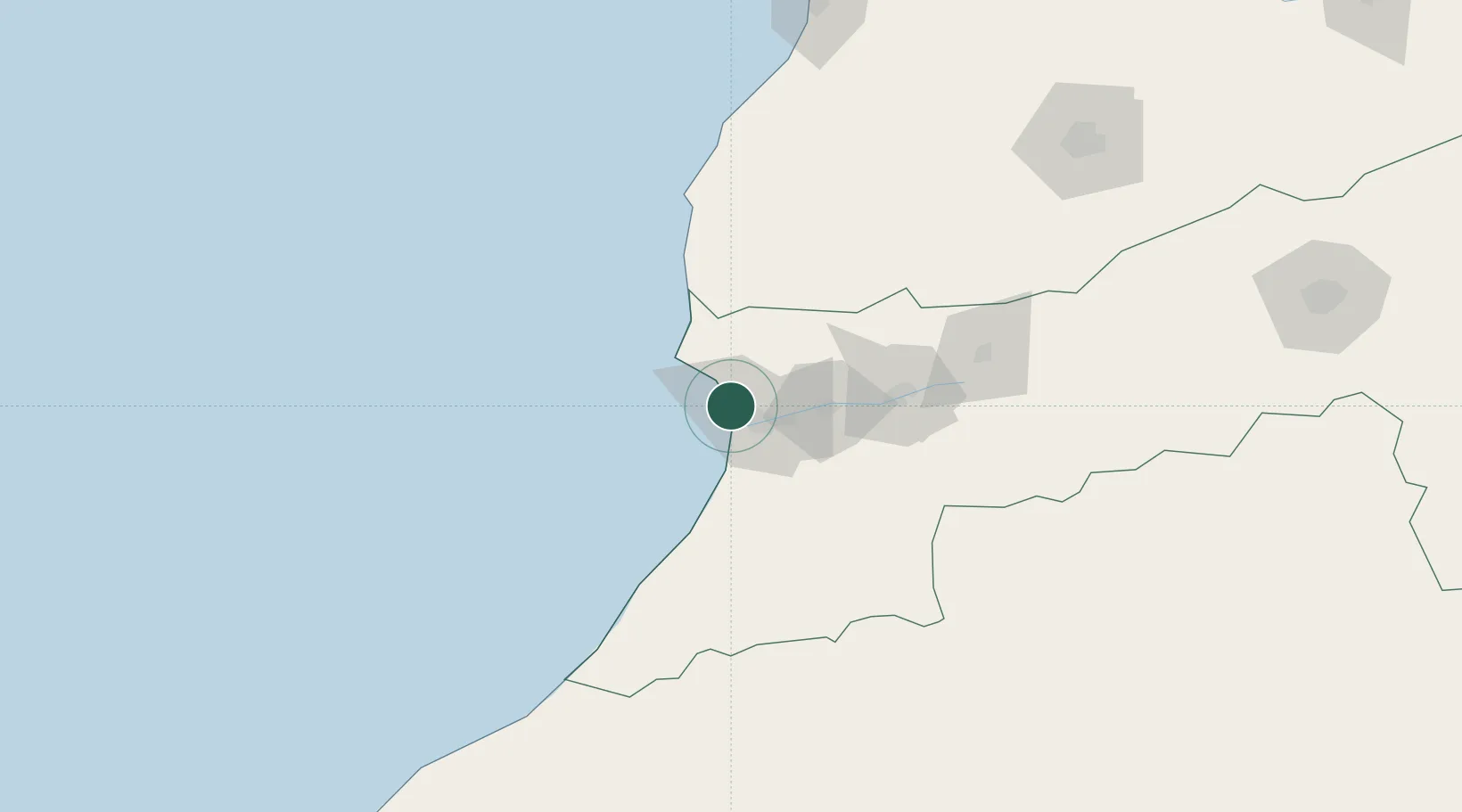
Agadir
30.4236°, -9.6297°
698,310
Population
2
Transport functions
1
Container terminals
Transport Functions
Port
Airport
Hub Profile
Place type
Regional capital
Region
Souss-Massa
Population
698,310
Time zone
Africa/Casablanca
Elevation
31 m
Logistics facilities
4
Container terminals
1
Location
Nearby Logistics Neighbours
Cities
- 1Anza4 km
- 2Aït Melloul17 km
- 3Taroudant73 km
- 4Essaouira111 km
- 5Imintanoute111 km
Ports
- 1Essaouira121 km
- 2Safi212 km
- 3El Jorf Lasfar314 km
- 4El Jadida332 km
- 5Casablanca401 km
Airports
- 1Al Massira Airport24 km
- 2Essaouira-Mogador Airport108 km
- 3Marrakesh Menara Airport201 km
- 4Tan Tan Airport265 km
- 5Ouarzazate International Airport266 km
Trade Zones
DatabookThe Record of Consolidated Knowledge
Morocco beyond logistics?