Medium airport · Madagascar
Manakara AirportFMSK
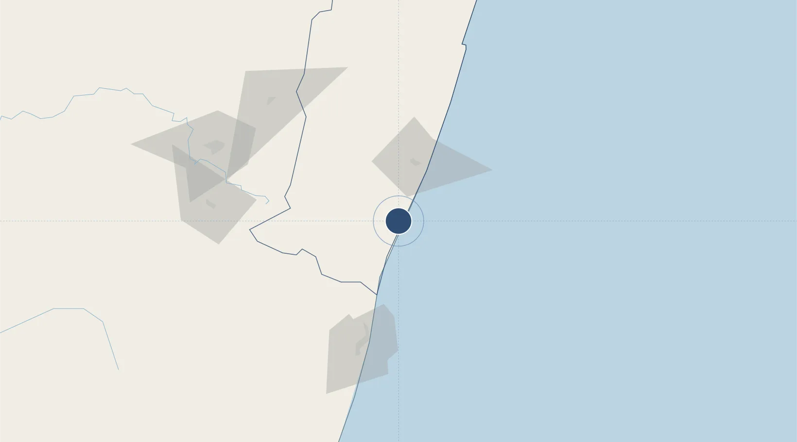
-22.1197°, 48.0217°
3,886 ft
Longest runway
1
Runways
33 ft
Elevation
Runway & Layout

Radio Frequencies
A/G
548.4 MHz
A/G VOICE RDO
AFIS
118.3 MHz
Navaids
VSR NDB Manakara 390 kHz
Runways · 1
| Runway | Dimensions | Surface | True heading | Lit |
|---|---|---|---|---|
| 05/23 | 3,886 × 79ft | Asphalt | 034° | — |
Airport Specifications
IATA code
WVK
ICAO code
FMSK
Airport class
Medium airport
Scheduled service
No
Runway surface
Asphalt
Served city
Manakara
Location
Nearby Logistics Neighbours
Airports
- 1Mananjary Airport108 km
- 2Fianarantsoa Airport121 km
- 3Tôlanaro Airport342 km
- 4Ivato International Airport374 km
- 5Miandrivazo Airport390 km
Cities
- 1Ehoala345 km
- 2Amboasary Sud365 km
- 3Tamatave (Toamasina)465 km
- 4Tulear (Toliara)467 km
- 5Saint-Paul760 km
Trade Zones
- 1Ehoala Park345 km
- 2Moramanga Textile City Zone355 km
- 3Tsarakofafa Special Economic Zone463 km
- 4Toamasina Autonomous Port465 km
- 5Betsinjaka Special Economic Zone465 km
DatabookThe Record of Consolidated Knowledge
Madagascar beyond logistics?