Transport Functions
Rail
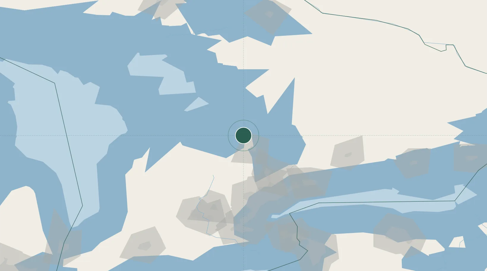
Hub Profile
Place type
Populated place
Region
Ontario
Population
2,314
Time zone
America/Toronto
Elevation
220 m
Location
Nearby Logistics Neighbours
Cities
- 1Midhurst17 km
- 2Victoria Harbour19 km
- 3Penetanguishene22 km
- 4Duntroon37 km
- 5East Gwillimbury44 km
Ports
- 1Midland20 km
- 2Penetanguishene22 km
- 3Collingwood33 km
- 4Thornbury49 km
- 5Meaford61 km
Airports
Trade Zones
- 1FTZ No. 034 Niagara County151 km
- 2Niagara Foreign Trade Zone177 km
- 3FTZ No. 023 Buffalo205 km
- 4FTZ No. 141 Monroe County208 km
- 5FTZ No. 289 Ontario County269 km
DatabookThe Record of Consolidated Knowledge
Canada beyond logistics?