Transport Functions
Port
Road
Hub Profile
Place type
Populated place
Region
Ontario
Time zone
America/Toronto
Elevation
217 m
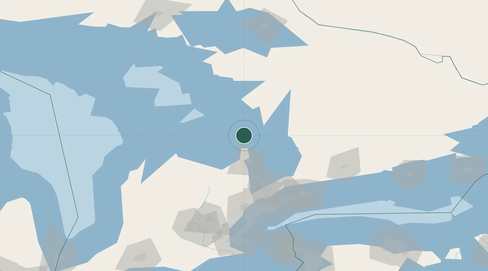
Location
Nearby Logistics Neighbours
Cities
- 1Penetanguishene13 km
- 2Elmvale19 km
- 3Bala31 km
- 4Midhurst34 km
- 5Duntroon44 km
Ports
- 1Midland12 km
- 2Penetanguishene13 km
- 3Collingwood46 km
- 4Thornbury58 km
- 5Meaford68 km
Airports
- 1Huronia Airport15 km
- 2Barrie-Lake Simcoe Regional Airport34 km
- 3Muskoka Airport44 km
- 4Owen Sound / Billy Bishop Regional Airport87 km
- 5Wiarton Airport106 km
Trade Zones
- 1FTZ No. 034 Niagara County167 km
- 2Niagara Foreign Trade Zone193 km
- 3FTZ No. 141 Monroe County217 km
- 4FTZ No. 023 Buffalo220 km
- 5FTZ No. 289 Ontario County279 km
DatabookThe Record of Consolidated Knowledge
Canada beyond logistics?