Diversified Zone · China

Huaining Economic Development Zone Active
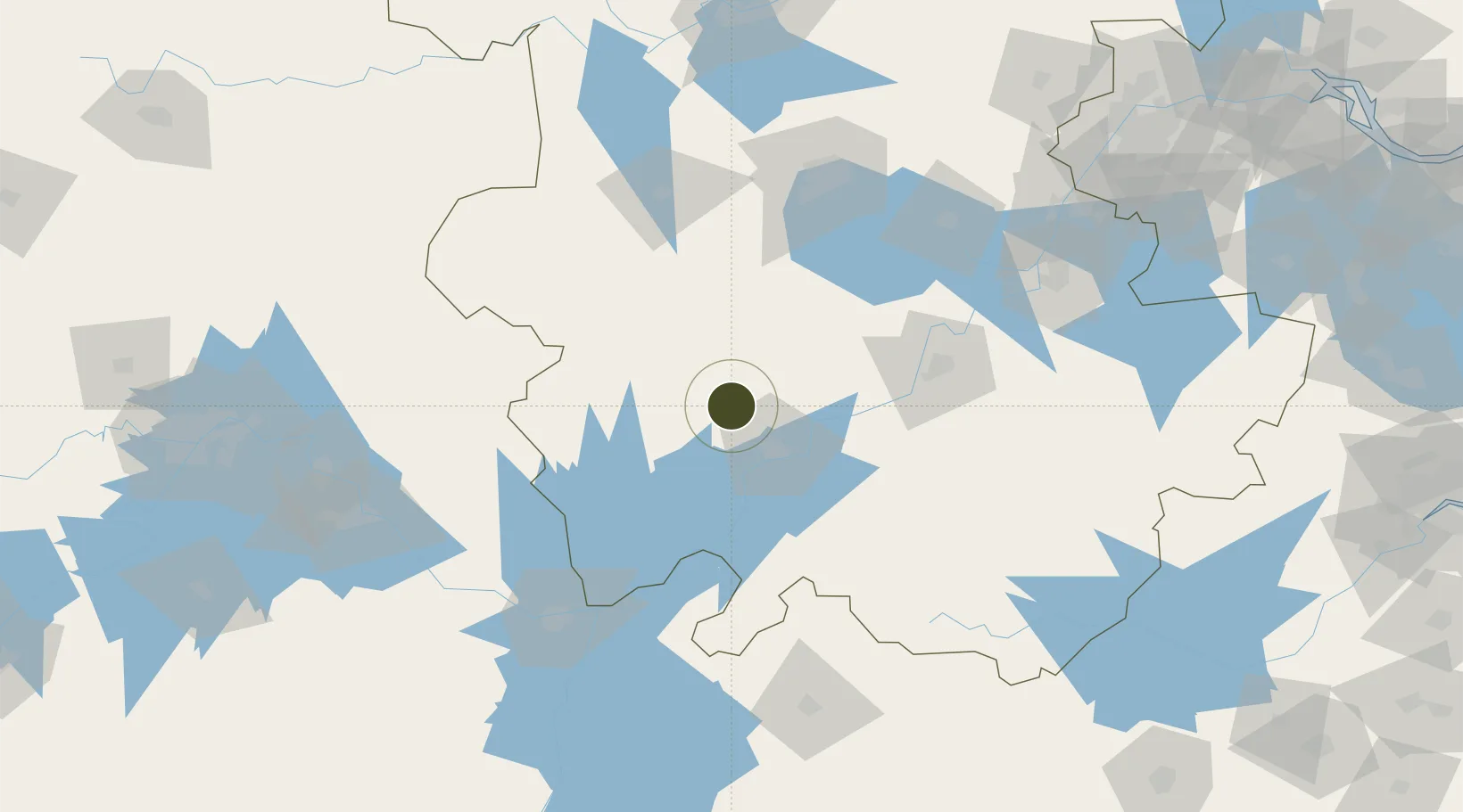
30.7453°, 116.8379°
3,000 ha
Zone area
234.6 km
Nearest port
27.2 km
Nearest airport

Gateway access

Nearest neighbours — logibook spatial index (haversine) over the source coordinates

Zone profile

Zone type
Diversified Zone
Open Zone Map
Region
Anhui
Open Zone Map
Status
Active
Open Zone Map
Management
Public
Open Zone Map
Operator
Anhui Huaining Comprehensive Economic Development Zone Management Committee
Open Zone Map
Legal framework
Huaining Economic Development Zone was approved to be established in November 1998 by anhui Provincial people's government. The overall planning area is 15 square kilometers, including 4 square kilometers in the first phase, 4 square kilometers in the sec
Open Zone Map

Location

Location of ozm-878
Natural Earth 10m (public domain) · Anhui · ozm-878 · 30.75, 116.84GoogleOSMYandex

Nearby Logistics Neighbours

Ports
  1. 1Nanjing235 km
  2. 2Hankow245 km
  3. 3Zhenjiang296 km
  4. 4Yangzhou299 km
  5. 5Changzhou328 km
Nearest neighbours — logibook spatial index (haversine) over the source coordinates
Airports
  1. 1Anqing Tianzhushan Airport / Anqing North Air Base27 km
  2. 2Chizhou Jiuhuashan Airport81 km
  3. 3Hefei Xinqiao International Airport139 km
  4. 4Feidong Air Base151 km
  5. 5Jingdezhen Luojia Airport160 km
Nearest neighbours — logibook spatial index (haversine) over the source coordinates
Cities
  1. 1Anqing34 km
  2. 2Shipai51 km
  3. 3Tongling94 km
  4. 4Lu'an115 km
  5. 5Hefei132 km
Nearest neighbours — logibook spatial index (haversine) over the source coordinates
DatabookThe Record of Consolidated Knowledge
China beyond logistics?
Browse databook

All Sources

Trade ZonesOpen Zone Map
CC BY
Portsthe NGA World Port Index
Public domain (US gov)
AirportsOurAirports
Public domain
LocationsUN/LOCODE
UN/LOCODE — free
← China trade zones