Diversified Zone · China

Dongkou Economic Development Zone Active
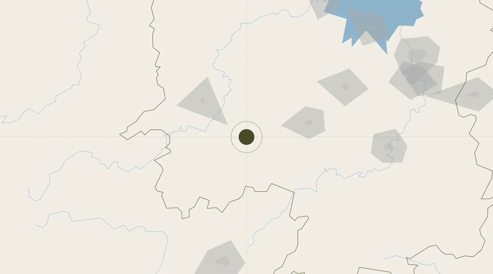
27.0493°, 110.5922°
1,600 ha
Zone area
511.8 km
Nearest port
27.5 km
Nearest airport

Gateway access

Nearest neighbours — logibook spatial index (haversine) over the source coordinates

Zone profile

Zone type
Diversified Zone
Open Zone Map
Region
Hunan
Open Zone Map
Status
Active
Open Zone Map
Management
Public
Open Zone Map
Operator
Management Commitiee
Open Zone Map
Legal framework
In March 2004 in Dongkou County to build a new district, is the province after the clean-up and rectification of the reserve of one of the provincial development zones
Open Zone Map

Location

Location of ozm-784
Natural Earth 10m (public domain) · Hunan · ozm-784 · 27.05, 110.59GoogleOSMYandex

Nearby Logistics Neighbours

Ports
  1. 1Guangzhou512 km
  2. 2Huangpu525 km
  3. 3Huangpuxingang533 km
  4. 4Hankow533 km
  5. 5Shekou607 km
Nearest neighbours — logibook spatial index (haversine) over the source coordinates
Airports
  1. 1Shaoyang Wugang Airport28 km
  2. 2Huaihua Zhijiang Airport98 km
  3. 3Shaodong Airport109 km
  4. 4Yongzhou Lingling Airport128 km
  5. 5Tongren Fenghuang Airport157 km
Nearest neighbours — logibook spatial index (haversine) over the source coordinates
Cities
  1. 1Huaihua81 km
  2. 2Tongren158 km
  3. 3Jishou165 km
  4. 4Defeng173 km
  5. 5Jiangsi194 km
Nearest neighbours — logibook spatial index (haversine) over the source coordinates
Trade Zones
  1. 1Shaoyang Economic Development Zone22 km
  2. 2Shaodong Economic Development Zone27 km
  3. 3Wugang Economic Development Zone36 km
  4. 4Hongjiang Industrial Concentration Zone59 km
  5. 5Suining Industrial Concentration Zone60 km
Nearest neighbours — logibook spatial index (haversine) over the source coordinates
DatabookThe Record of Consolidated Knowledge
China beyond logistics?
Browse databook

All Sources

Trade ZonesOpen Zone Map
CC BY
Portsthe NGA World Port Index
Public domain (US gov)
AirportsOurAirports
Public domain
LocationsUN/LOCODE
UN/LOCODE — free
← China trade zones