Diversified Zone · China
Changchun Automobile Industry Development Zone Active
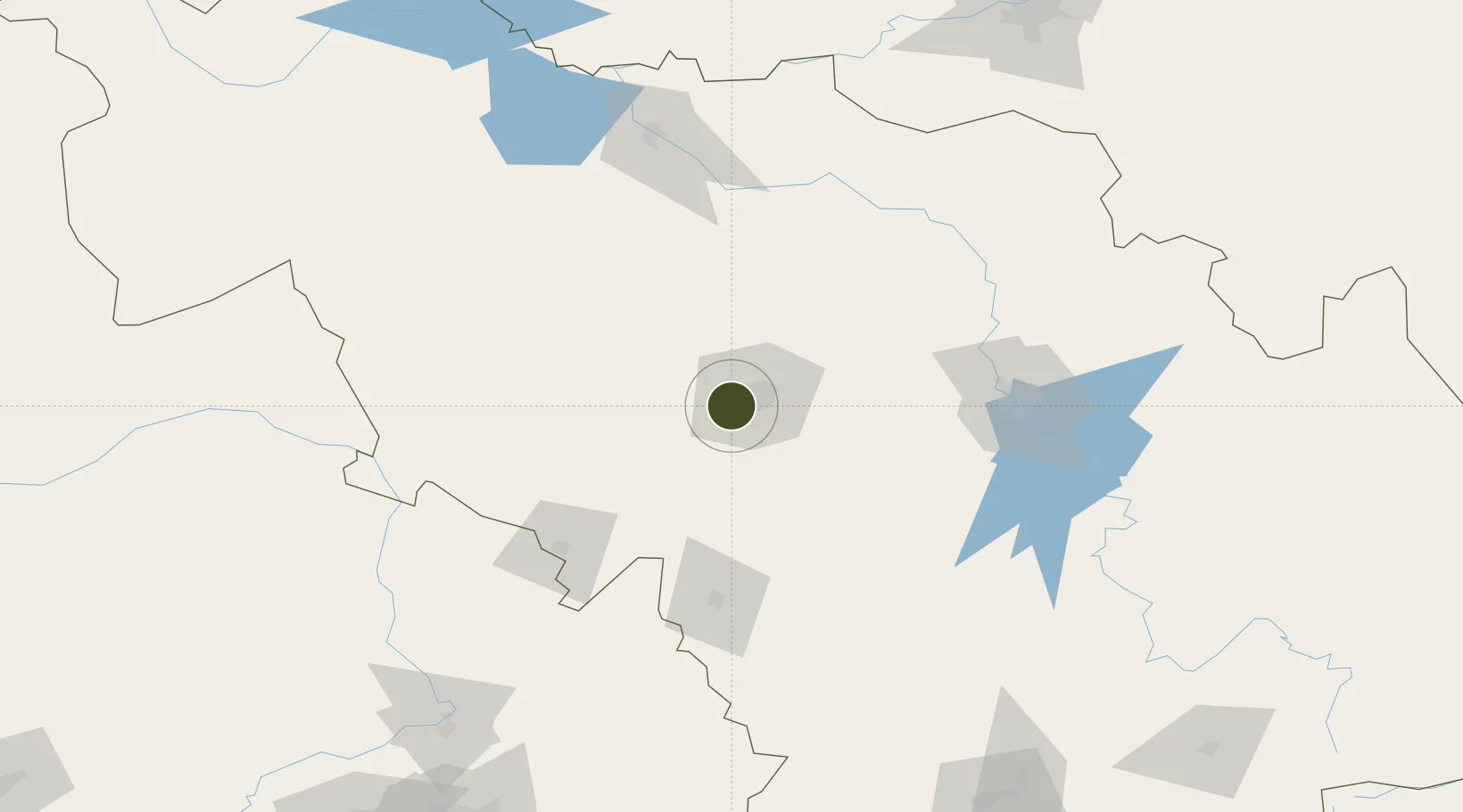
43.8320°, 125.2123°
467 ha
Zone area
427.4 km
Nearest port
8.2 km
Nearest airport
Gateway access
Zone profile
Zone type
Diversified Zone
Region
Jilin
Status
Active
Management
Public
Operator
Changchun Automobile Industry Development Zone Management Committee
Legal framework
Regulations on Taxation Policies of National High-Tech Industrial Development Zones Approved by State Council of the People's Republic of China Mar 6, 1991; Administrative Measures for the Recognition of High-tech Enterprises; Ministry of Science and Tech
Location
Nearby Logistics Neighbours
Airports
- 1Changchun Air Base8 km
- 2Changchun Longjia International Airport42 km
- 3Gongzhuling Air Base48 km
- 4Siping Air Base106 km
- 5Songyuan Chaganhu Airport133 km
Cities
- 1Changchun11 km
- 2Jiashan78 km
- 3Dehui87 km
- 4Liaoyuan104 km
- 5Shuangcheng189 km
DatabookThe Record of Consolidated Knowledge
China beyond logistics?