Diversified Zone · China

Langzhong Economic Development Zone Active
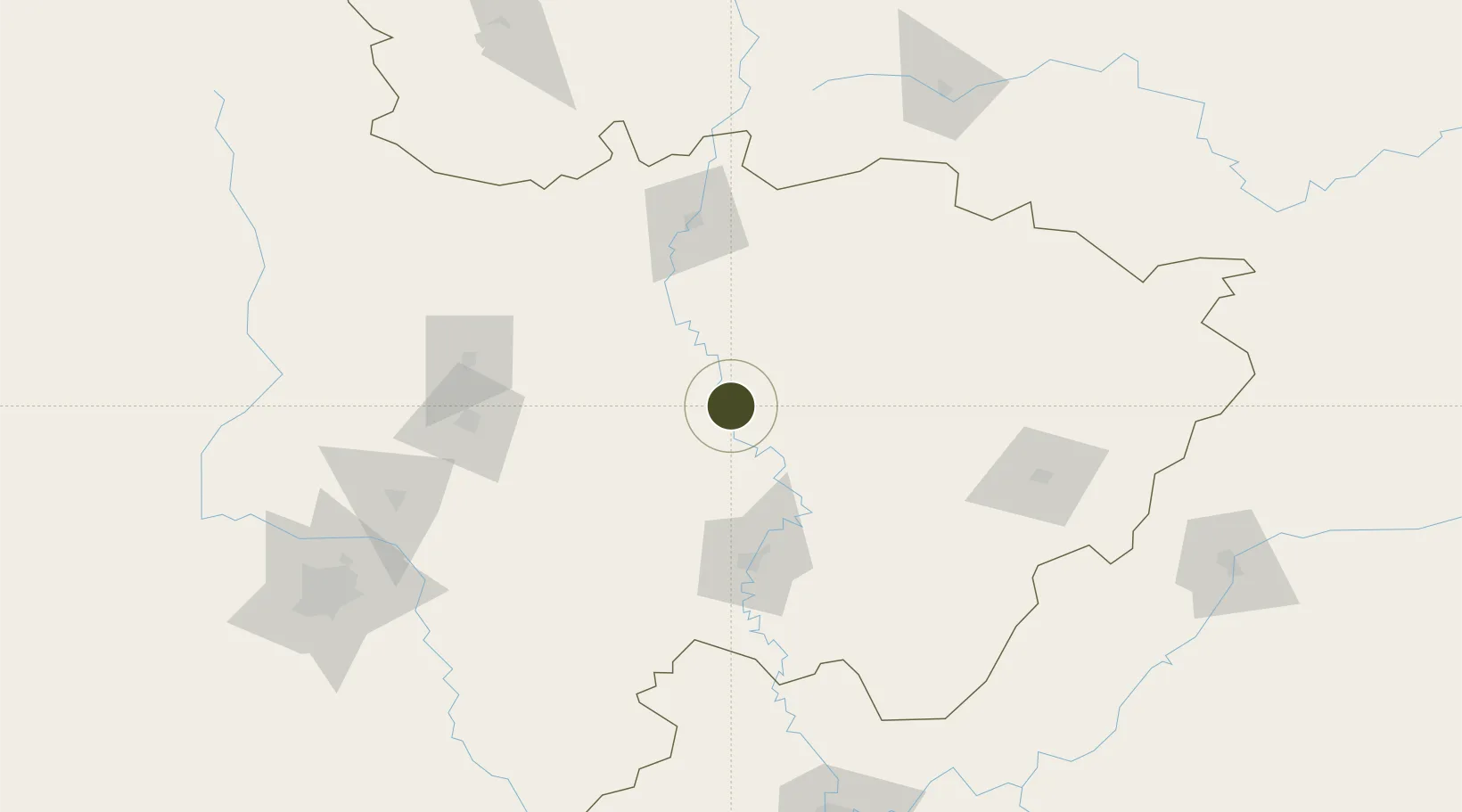
31.5553°, 106.0072°
439 ha
Zone area
795.4 km
Nearest port
6.5 km
Nearest airport

Gateway access

Nearest neighbours — logibook spatial index (haversine) over the source coordinates

Zone profile

Zone type
Diversified Zone
Open Zone Map
Region
Sichuan
Open Zone Map
Status
Active
Open Zone Map
Management
Public
Open Zone Map
Operator
Langzhong Economic Development Zone Management Committee
Open Zone Map
Legal framework
Langzhong City, Sichuan Province proposed to set up the provincial development zone
Open Zone Map

Location

Location of ozm-475
Natural Earth 10m (public domain) · Sichuan · ozm-475 · 31.56, 106.01GoogleOSMYandex

Nearby Logistics Neighbours

Ports
  1. 1Hankow795 km
  2. 2Fang-Cheng1115 km
  3. 3Qinzhou1122 km
  4. 4Beihai1160 km
  5. 5Cam Pha1178 km
Nearest neighbours — logibook spatial index (haversine) over the source coordinates
Airports
  1. 1Langzhong Gucheng Airport7 km
  2. 2Bazhong Enyang Airport64 km
  3. 3Nanchong Gaoping Airport86 km
  4. 4Guangyuan Panlong Airport97 km
  5. 5Mianyang Nanjiao Airport121 km
Nearest neighbours — logibook spatial index (haversine) over the source coordinates
Cities
  1. 1Suining122 km
  2. 2Mianyang124 km
  3. 3Deyang160 km
  4. 4Tianfu, Chengdu204 km
  5. 5Ziyang208 km
Nearest neighbours — logibook spatial index (haversine) over the source coordinates
Trade Zones
  1. 1Southern Sichuan Economic Development Zone22 km
  2. 2Yanting Economic Development Zone68 km
  3. 3Wangcang Economic Development Zone80 km
  4. 4Zitong Economic Development Zone80 km
  5. 5Bazhong Economic Development Zone91 km
Nearest neighbours — logibook spatial index (haversine) over the source coordinates
DatabookThe Record of Consolidated Knowledge
China beyond logistics?
Browse databook

All Sources

Trade ZonesOpen Zone Map
CC BY
Portsthe NGA World Port Index
Public domain (US gov)
AirportsOurAirports
Public domain
LocationsUN/LOCODE
UN/LOCODE — free
← China trade zones