Medium airport · China

Mianyang Nanjiao AirportZUMY
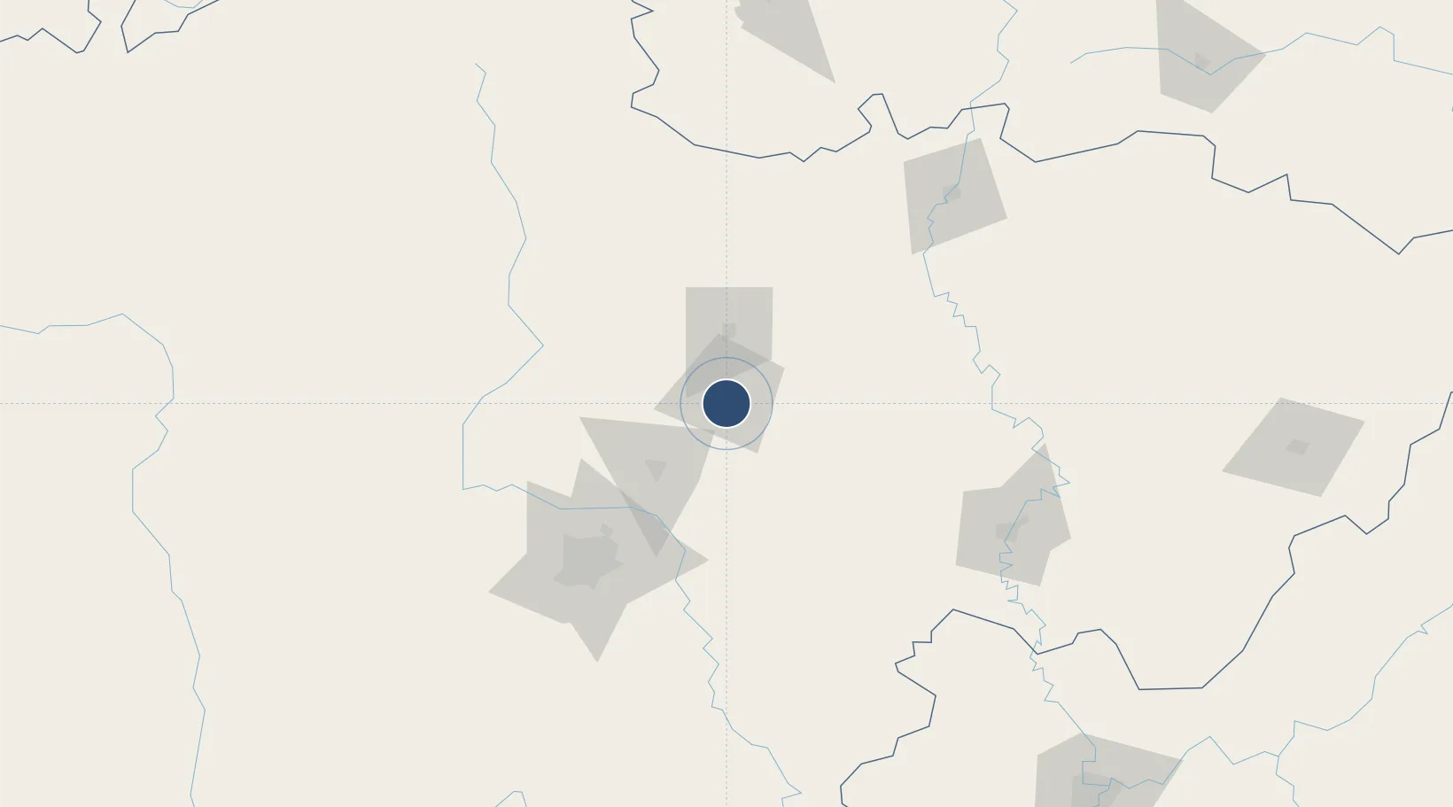
31.4281°, 104.7410°
7,874 ft
Longest runway
1
Runways
7,874 ft
Elevation

Runway & Layout

Mianyang Nanjiao Airport runway & taxiway layout
Runway & taxiway layout — OpenStreetMap (ODbL) / OurAirports

Runways · 1

RunwayDimensions SurfaceTrue headingLit
14/32 7,874 × —ft
OurAirports

Airport Specifications

IATA code
MIG
OurAirports
ICAO code
ZUMY
OurAirports
Airport class
Medium airport
OurAirports
Scheduled service
Yes
OurAirports
Served city
Mianyang (Fucheng)
OurAirports

Location

Location of ZUMY
Natural Earth 10m (public domain) · Sichuan · ZUMY · 31.43, 104.74GoogleOSMYandex

Nearby Logistics Neighbours

Airports
  1. 1Guanghan Airport66 km
  2. 2Chengdu Huaizhou Airport86 km
  3. 3Chengdu Huangtianba Air Base110 km
  4. 4Chengdu Shuangliu International Airport123 km
  5. 5Langzhong Gucheng Airport123 km
Nearest neighbours — logibook spatial index (haversine) over the source coordinates
Cities
  1. 1Mianyang9 km
  2. 2Deyang46 km
  3. 3Suining125 km
  4. 4Tianfu, Chengdu129 km
  5. 5Chengdu135 km
Nearest neighbours — logibook spatial index (haversine) over the source coordinates
Ports
  1. 1Hankow914 km
  2. 2Fang-Cheng1134 km
  3. 3Qinzhou1143 km
  4. 4Hai Phong1185 km
  5. 5Cam Pha1185 km
Nearest neighbours — logibook spatial index (haversine) over the source coordinates
Trade Zones
  1. 1Luojiang Economic Development Zone20 km
  2. 2Zitong Economic Development Zone46 km
  3. 3Liangshan Economic Development Zone47 km
  4. 4Mianzhu Economic Development Zone50 km
  5. 5Deyang-Aba Ecological Economic Industrial Park52 km
Nearest neighbours — logibook spatial index (haversine) over the source coordinates
DatabookThe Record of Consolidated Knowledge
China beyond logistics?
Browse databook

All Sources

AirportsOurAirports
Public domain
Portsthe NGA World Port Index
Public domain (US gov)
LocationsUN/LOCODE
UN/LOCODE — free
Trade Zonesthe World Bank SEZ database
CC BY 4.0
Trade ZonesOpen Zone Map
CC BY
InfrastructureOpenStreetMap
ODbL 1.0
← China airports