Transport Functions
Rail
Road
Hub Profile
Place type
District seat
Region
Castille and León
Population
128
Time zone
Europe/Madrid
Elevation
866 m
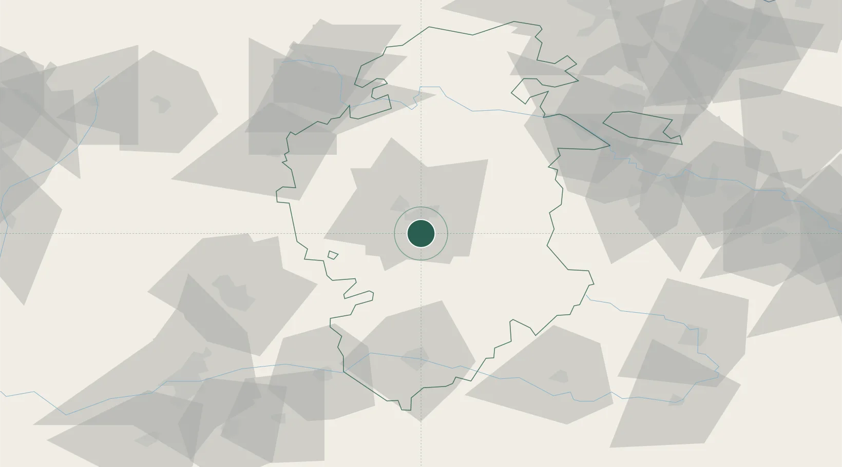
Location
Nearby Logistics Neighbours
Cities
- 1Cardenadijo6 km
- 2Valdorros9 km
- 3Villafría de Burgos12 km
- 4Burgos14 km
- 5Ibeas de Juarros15 km
Ports
- 1Puerto De Bilbao133 km
- 2Santander136 km
- 3Bermeo152 km
- 4Puerto De Pasajes187 km
- 5Gijon217 km
Airports
- 1Burgos Airport13 km
- 2Vitoria Airport105 km
- 3Valladolid Airport114 km
- 4Logroño-Agoncillo Airport114 km
- 5Seve Ballesteros-Santander Airport131 km
Trade Zones
DatabookThe Record of Consolidated Knowledge
Spain beyond logistics?