Diversified Zone · Philippines

Lamerd Special Economic Zone for Energy Industries Active
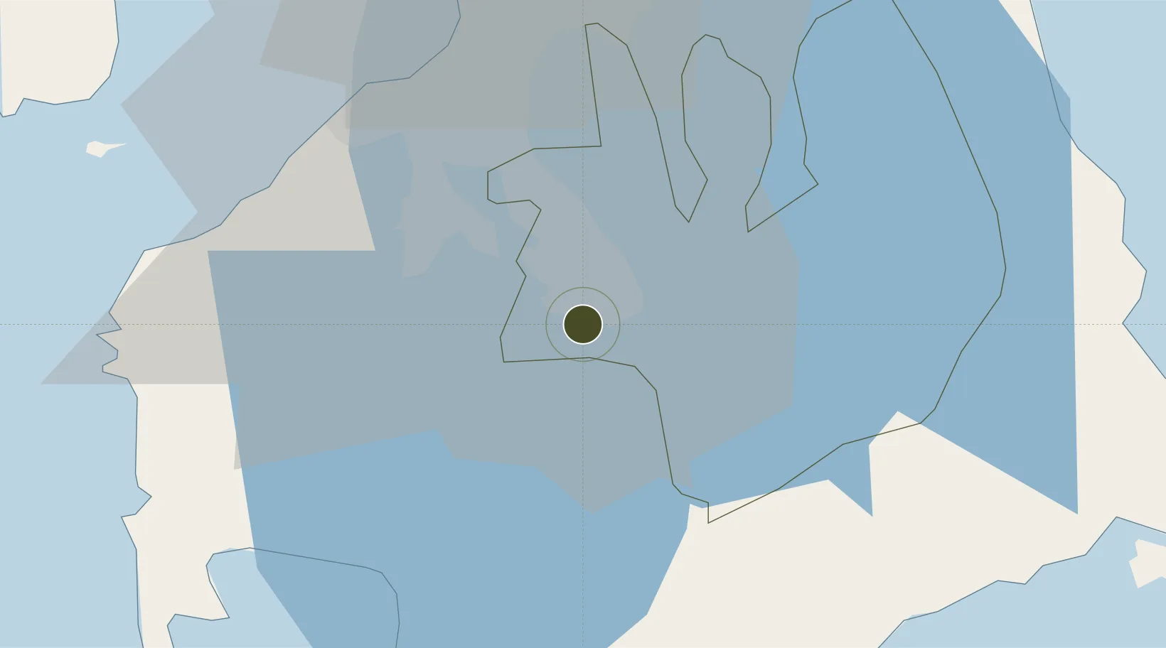
14.1865°, 121.1224°
51 ha
Zone area
47.2 km
Nearest port
37.5 km
Nearest airport

Gateway access

Nearest neighbours — logibook spatial index (haversine) over the source coordinates

Zone profile

Zone type
Diversified Zone
Open Zone Map
Region
Laguna
Open Zone Map
Status
Active
Open Zone Map
Management
Private
Open Zone Map
Operator
Filinvest Land Inc.
Open Zone Map
Legal framework
Special Economic Zone Act (Republic Act No. 7916) (as amended by Republic Act No. 8748)
Open Zone Map

Location

Location of ozm-3146
Natural Earth 10m (public domain) · Laguna · ozm-3146 · 14.19, 121.12GoogleOSMYandex

Nearby Logistics Neighbours

Ports
  1. 1Manila47 km
  2. 2Batangas City49 km
  3. 3Nasugbu56 km
  4. 4Mariveles74 km
  5. 5Calapan86 km
Nearest neighbours — logibook spatial index (haversine) over the source coordinates
Airports
  1. 1Ninoy Aquino International Airport38 km
  2. 2Danilo Atienza Air Base42 km
  3. 3Subic Bay International Airport / Naval Air Station Cubi Point114 km
  4. 4Lubang Airport116 km
  5. 5Marinduque Airport119 km
Nearest neighbours — logibook spatial index (haversine) over the source coordinates
Cities
  1. 1Canlubang4 km
  2. 2Camarines Norte/Jose Panganiban5 km
  3. 3Tanauan14 km
  4. 4Biñan17 km
  5. 5Batangas/Luzon33 km
Nearest neighbours — logibook spatial index (haversine) over the source coordinates
Trade Zones
  1. 1Filinvest Technology Park - Calamba0 km
  2. 2Filinvest Technology Park Gen. Santos City1 km
  3. 3Carmelray Industrial Park II2 km
  4. 4Calamba Premiere International Park2 km
  5. 5Allegis IT Park2 km
Nearest neighbours — logibook spatial index (haversine) over the source coordinates
DatabookThe Record of Consolidated Knowledge
Philippines beyond logistics?
Browse databook

All Sources

Trade ZonesOpen Zone Map
CC BY
Portsthe NGA World Port Index
Public domain (US gov)
AirportsOurAirports
Public domain
LocationsUN/LOCODE
UN/LOCODE — free
← Philippines trade zones