Specialized Zone · India

Eon Kharadi Infrastructure Pvt Ltd Active
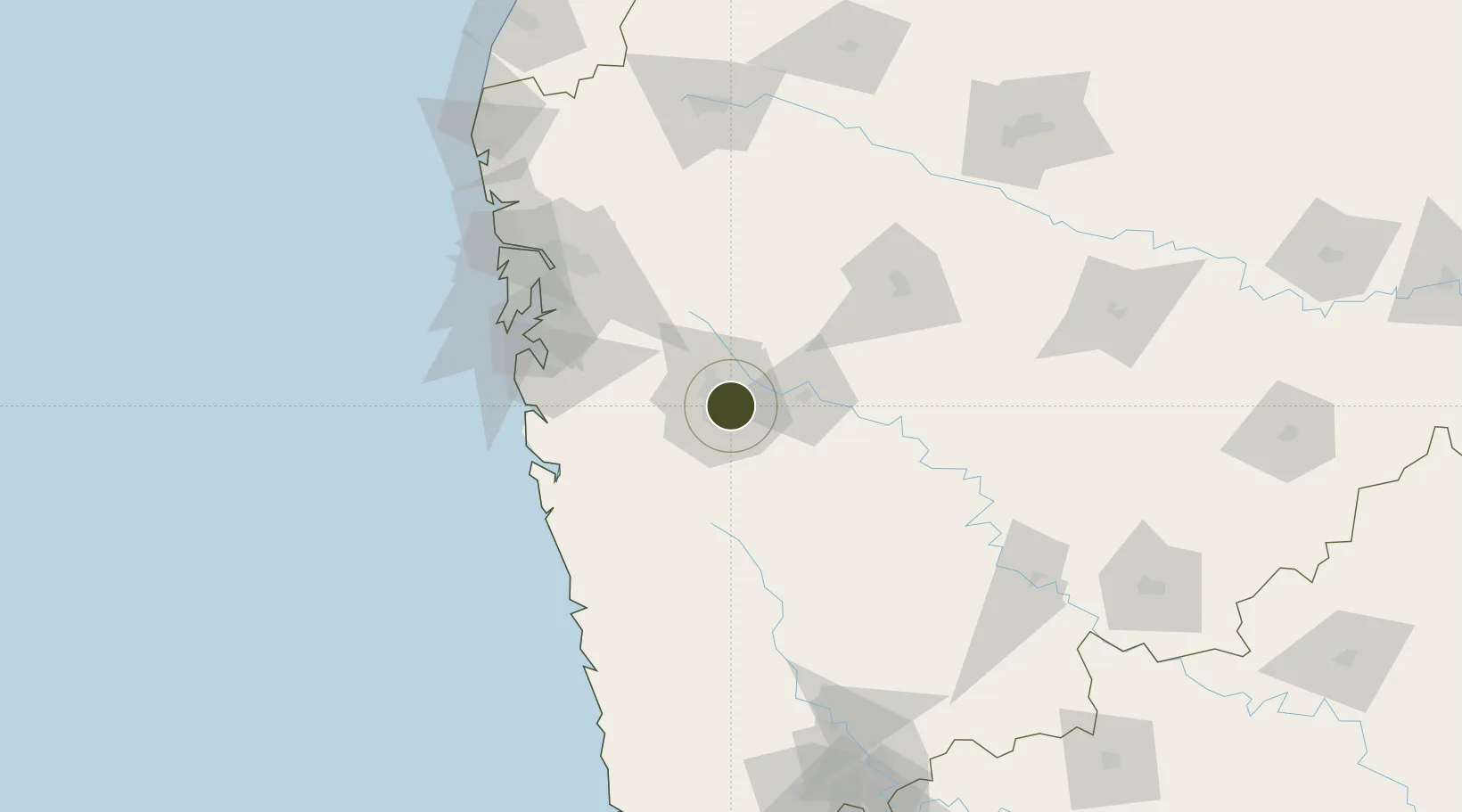
18.5528°, 73.8925°
18 ha
Zone area
108.6 km
Nearest port
4.3 km
Nearest airport

Gateway access

Nearest neighbours — logibook spatial index (haversine) over the source coordinates

Zone profile

Zone type
Specialized Zone
Open Zone Map
Specialization
Tech
Open Zone Map
Region
Maharashtra
Open Zone Map
Status
Active
Open Zone Map
Management
Private
Open Zone Map
Operator
Eon Kharadi Private Infrastructure Ltd.
Open Zone Map
Legal framework
Maharashtra SEZ Act/Policy, The Special Economic Zones Act, 2005
Open Zone Map

Location

Location of ozm-2315
Natural Earth 10m (public domain) · Maharashtra · ozm-2315 · 18.55, 73.89GoogleOSMYandex

Nearby Logistics Neighbours

Ports
  1. 1Jawaharlal Nehru Port (Nhava Shiva)109 km
  2. 2Mumbai (Bombay)117 km
  3. 3Port Dabhol132 km
  4. 4Jaigarh Bay157 km
  5. 5Ratnagiri186 km
Nearest neighbours — logibook spatial index (haversine) over the source coordinates
Airports
  1. 1Pune International Airport4 km
  2. 2Baramati Airport82 km
  3. 3Navi Mumbai International Airport100 km
  4. 4Chhatrapati Shivaji Maharaj International Airport123 km
  5. 5Shirdi International Airport136 km
Nearest neighbours — logibook spatial index (haversine) over the source coordinates
Cities
  1. 1EKIPL SEZ/Pune4 km
  2. 2ITL SEZ/Pune4 km
  3. 3MTDCCL SEZ/Pune4 km
  4. 4BTSL SEZ/Pune4 km
  5. 5SIPL SEZ/Pune4 km
Nearest neighbours — logibook spatial index (haversine) over the source coordinates
DatabookThe Record of Consolidated Knowledge
India beyond logistics?
Browse databook

All Sources

Trade ZonesOpen Zone Map
CC BY
Portsthe NGA World Port Index
Public domain (US gov)
AirportsOurAirports
Public domain
LocationsUN/LOCODE
UN/LOCODE — free
← India trade zones