Transport Functions
Rail
Road
Hub Profile
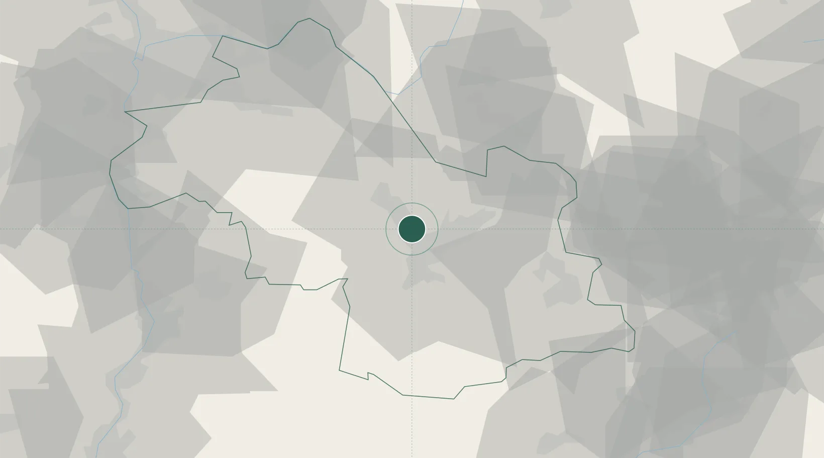
Place type
Populated place
Region
Rhône-Alpes
Population
15,904
Time zone
Europe/Paris
Elevation
219 m
Location
Nearby Logistics Neighbours
Cities
- 1Grenoble7 km
- 2Saint-Ismier12 km
- 3Lancey14 km
- 4Herbeys14 km
- 5Le Versoud15 km
Ports
- 1Port-de-Bouc211 km
- 2Fos212 km
- 3Nice213 km
- 4Villefranche214 km
- 5Marseille215 km
Airports
Trade Zones
- 1ZFU Grenoble6 km
- 2ZFU Valence74 km
- 3ZFU Vénissieux83 km
- 4ZFU Vaulx-en-Velin85 km
- 5ZFU Lyon 9e91 km
DatabookThe Record of Consolidated Knowledge
France beyond logistics?