Free Trade Zone · China

Jingde Economic Development Zone Active
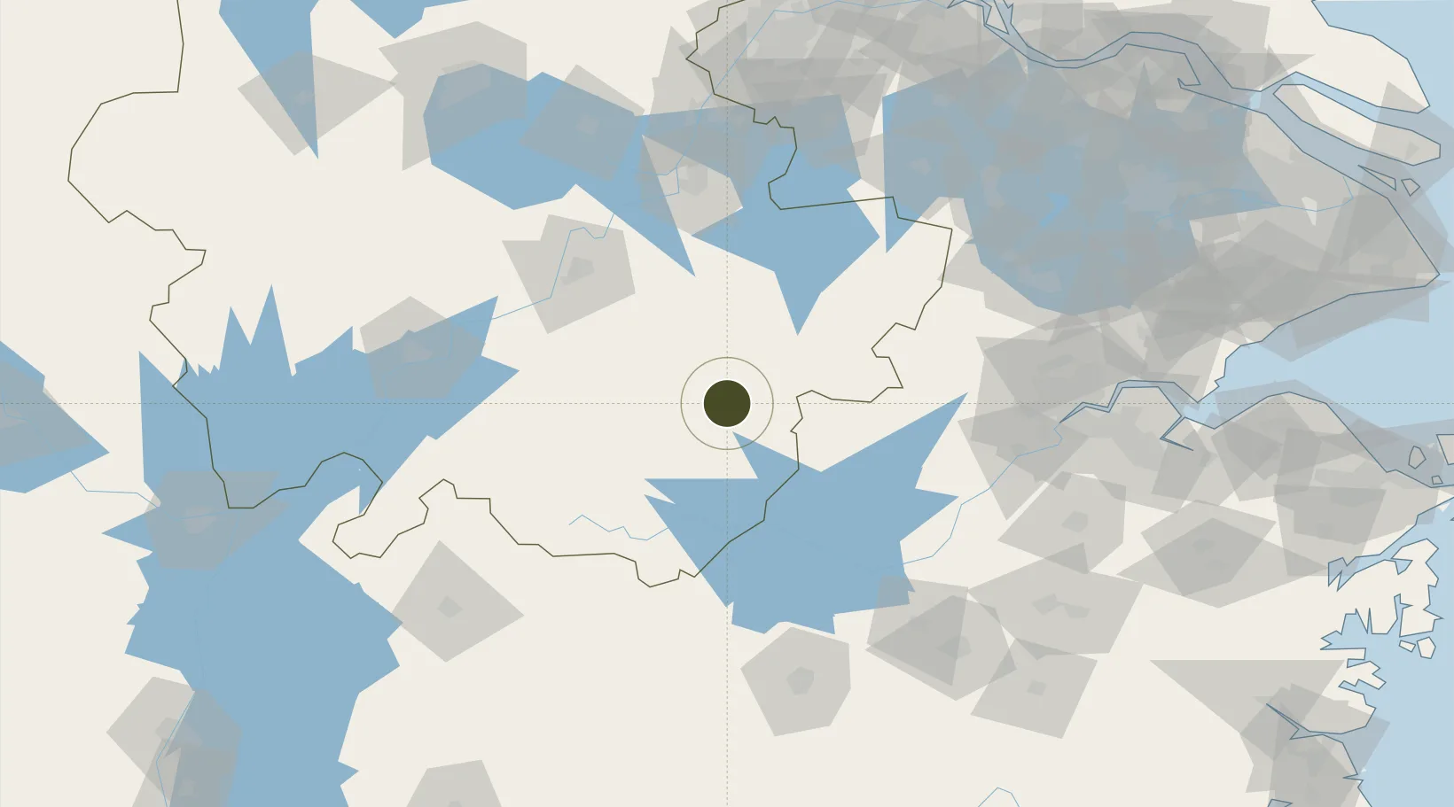
30.2925°, 118.5465°
160 ha
Zone area
200.1 km
Nearest port
68.2 km
Nearest airport

Gateway access

Nearest neighbours — logibook spatial index (haversine) over the source coordinates

Zone profile

Zone type
Free Trade Zone
Open Zone Map
Region
Anhui
Open Zone Map
Status
Active
Open Zone Map
Management
Private
Open Zone Map
Operator
Working Committee of Jingde Economic Development Zone
Open Zone Map
Legal framework
Overall Urban Planning of Jingde County, Anhui Province (2008 -- 2030)
Open Zone Map

Location

Location of ozm-1496
Natural Earth 10m (public domain) · Anhui · ozm-1496 · 30.29, 118.55GoogleOSMYandex

Nearby Logistics Neighbours

Ports
  1. 1Nanjing200 km
  2. 2Zhenjiang230 km
  3. 3Changzhou231 km
  4. 4Yangzhou235 km
  5. 5Jiangyin242 km
Nearest neighbours — logibook spatial index (haversine) over the source coordinates
Airports
  1. 1Huangshan Tunxi International Airport68 km
  2. 2Wuhu Xuanzhou Airport91 km
  3. 3Chizhou Jiuhuashan Airport96 km
  4. 4Anji Tianzihu General Airport115 km
  5. 5Jiande Qiandaohu General Airport120 km
Nearest neighbours — logibook spatial index (haversine) over the source coordinates
Cities
  1. 1Xuancheng66 km
  2. 2Tongling101 km
  3. 3Anji115 km
  4. 4Tonglu121 km
  5. 5Wuhu124 km
Nearest neighbours — logibook spatial index (haversine) over the source coordinates
Trade Zones
  1. 1Guangde Economic Development Zone4 km
  2. 2Huangshan Industrial Park41 km
  3. 3She County Economic Development Zone44 km
  4. 4Shexian Economic & Technological Development Area44 km
  5. 5Huizhou Economic Development Zone53 km
Nearest neighbours — logibook spatial index (haversine) over the source coordinates
DatabookThe Record of Consolidated Knowledge
China beyond logistics?
Browse databook

All Sources

Trade ZonesOpen Zone Map
CC BY
Portsthe NGA World Port Index
Public domain (US gov)
AirportsOurAirports
Public domain
LocationsUN/LOCODE
UN/LOCODE — free
← China trade zones