UN/LOCODE hub · China
CNZZU

Fuzhou

24.5167°, 117.6500°
3
Transport functions

Transport Functions

Port
Rail
Road
Fuzhou is also a profiled seaport →
UN/LOCODE

Hub Profile

Place type
Populated place
GeoNames
Region
Guangdong
GeoNames
Time zone
Asia/Shanghai
GeoNames
Elevation
70 m
GeoNames
Logistics facilities
1
UN/LOCODE

Location

Location of CNZZU
Natural Earth 10m (public domain) · Guangdong · CNZZU · 24.52, 117.65GoogleOSMYandex

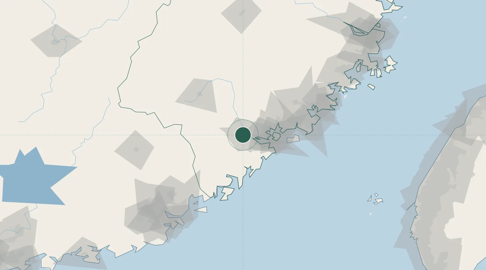
Nearby Logistics Neighbours

Cities
  1. 1Zhangzhou0 km
  2. 2Xiamen43 km
  3. 3Jimei,Xiamen46 km
  4. 4Jiuzhen54 km
  5. 5Tongan, Xiamen57 km
Nearest neighbours — logibook spatial index (haversine) over the source coordinates
Ports
  1. 1Xiamen43 km
  2. 2Dongshan86 km
  3. 3Quanzhou104 km
  4. 4Chaozhou115 km
  5. 5Xiuyu156 km
Nearest neighbours — logibook spatial index (haversine) over the source coordinates
Airports
  1. 1Xiamen Gaoqi International Airport48 km
  2. 2Kinmen Airport72 km
  3. 3Quanzhou Jinjiang International Airport100 km
  4. 4Huian Air Base130 km
  5. 5Liancheng Guanzhishan Airport158 km
Nearest neighbours — logibook spatial index (haversine) over the source coordinates
Trade Zones
  1. 1Jinfeng Economic Development Zone5 km
  2. 2Lantian Economic Development Zone8 km
  3. 3Huaan Economic Development Zone18 km
  4. 4Pinghe Industrial Park19 km
  5. 5Changtai Economic Development Zone19 km
Nearest neighbours — logibook spatial index (haversine) over the source coordinates
DatabookThe Record of Consolidated Knowledge
China beyond logistics?
Browse databook

All Sources

LocationsUN/LOCODE
UN/LOCODE — free
Portsthe NGA World Port Index
Public domain (US gov)
AirportsOurAirports
Public domain
Trade Zonesthe World Bank SEZ database
CC BY 4.0
Trade ZonesOpen Zone Map
CC BY
← China locations