Export Processing Zone · China

Qimen Economic Development Zone Active
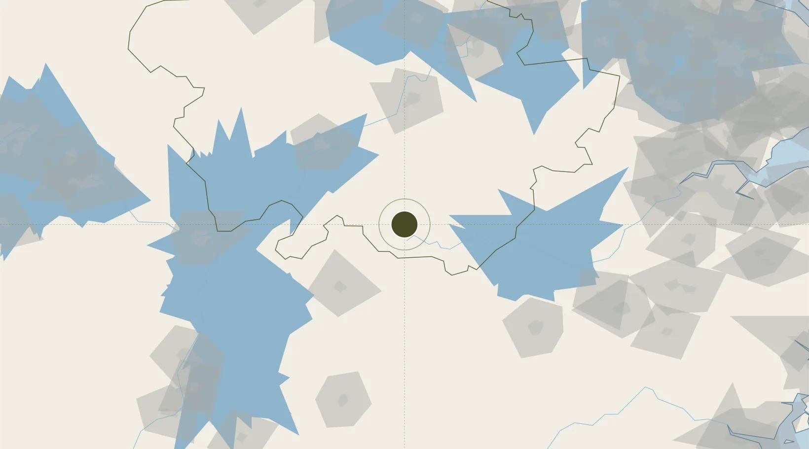
29.8479°, 117.7659°
158 ha
Zone area
265.7 km
Nearest port
49.0 km
Nearest airport

Gateway access

Nearest neighbours — logibook spatial index (haversine) over the source coordinates

Zone profile

Zone type
Export Processing Zone
Open Zone Map
Region
Anhui
Open Zone Map
Status
Active
Open Zone Map
Management
Public
Open Zone Map
Operator
Working Committee of Qimen Economic Development Zone
Open Zone Map
Legal framework
General Plan of Qimen County (2018-2035)
Open Zone Map

Location

Location of ozm-1049
Natural Earth 10m (public domain) · Anhui · ozm-1049 · 29.85, 117.77GoogleOSMYandex

Nearby Logistics Neighbours

Ports
  1. 1Nanjing266 km
  2. 2Zhenjiang308 km
  3. 3Yangzhou312 km
  4. 4Changzhou317 km
  5. 5Zhapu329 km
Nearest neighbours — logibook spatial index (haversine) over the source coordinates
Airports
  1. 1Huangshan Tunxi International Airport49 km
  2. 2Jingdezhen Luojia Airport80 km
  3. 3Chizhou Jiuhuashan Airport100 km
  4. 4Anqing Tianzhushan Airport / Anqing North Air Base107 km
  5. 5Jiande Qiandaohu General Airport147 km
Nearest neighbours — logibook spatial index (haversine) over the source coordinates
Cities
  1. 1Jingdezhen82 km
  2. 2Anqing100 km
  3. 3Shipai119 km
  4. 4Tongling121 km
  5. 5Xuancheng138 km
Nearest neighbours — logibook spatial index (haversine) over the source coordinates
Trade Zones
  1. 1Huangshan Economic Development Zone50 km
  2. 2Huizhou Economic Development Zone52 km
  3. 3Huangshan Industrial Park60 km
  4. 4She County Economic Development Zone68 km
  5. 5Shexian Economic & Technological Development Area68 km
Nearest neighbours — logibook spatial index (haversine) over the source coordinates
DatabookThe Record of Consolidated Knowledge
China beyond logistics?
Browse databook

All Sources

Trade ZonesOpen Zone Map
CC BY
Portsthe NGA World Port Index
Public domain (US gov)
AirportsOurAirports
Public domain
LocationsUN/LOCODE
UN/LOCODE — free
← China trade zones